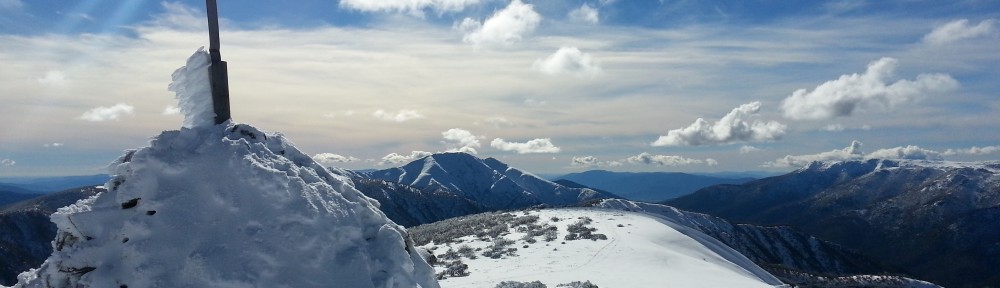
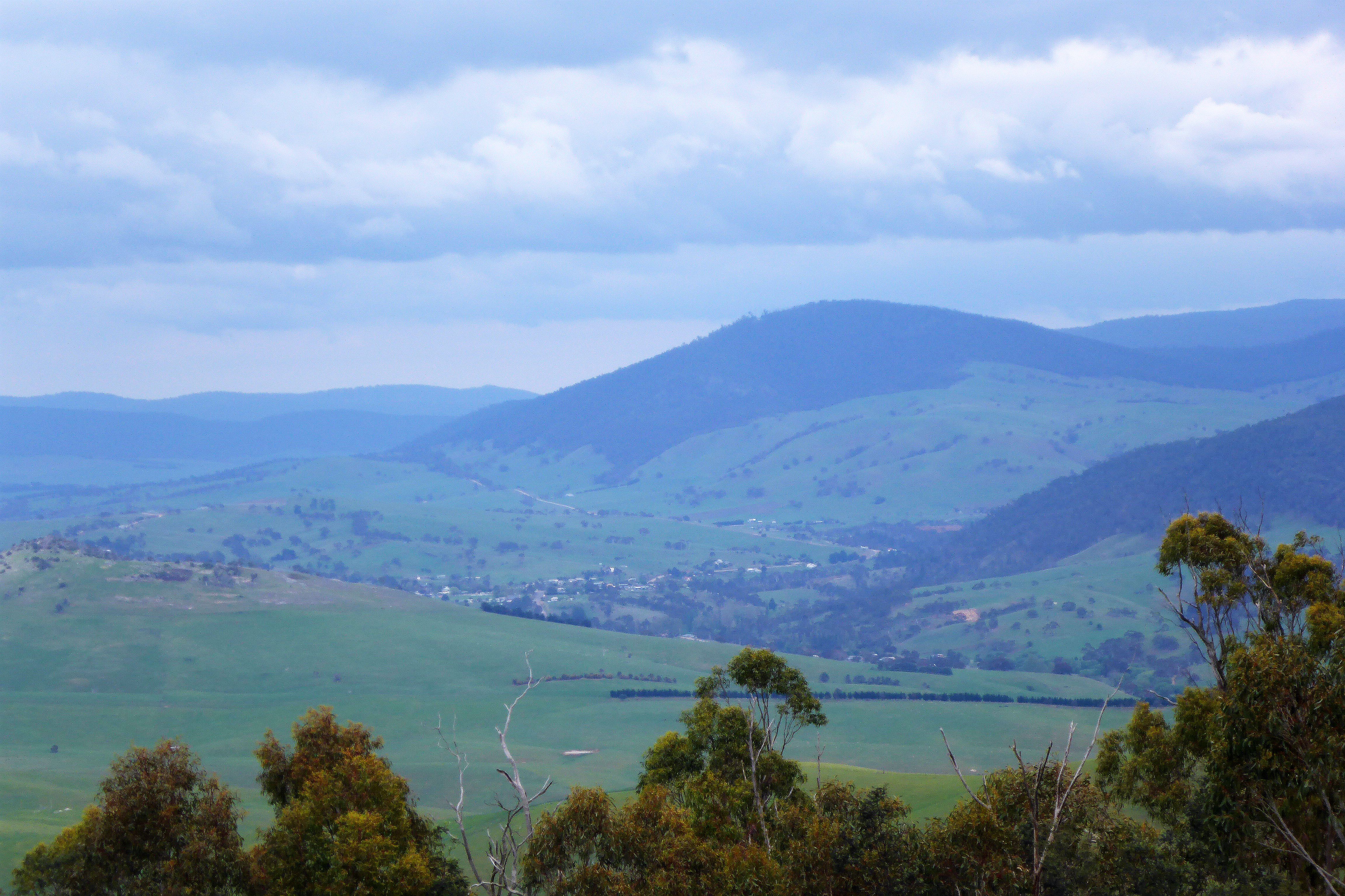
Mt Livingston with Omeo in the middle distance from a lookout on the way to Benambra
In my previous post, I detailed the first day of my weekend adventure to East Gippsland and documented the trials and tribulations of trying to activate summits when propagation is dismal. Well Day 2 was slightly better, but still challenging.
Day 2 began when daylight woke me from my slumber again around 6:30. There was still light drizzle falling which eased and stopped soon after rising. With the previous day’s challenges, I was less inclined to undertake significant hike’s only to be unable to qualify the summit. I resolved to focus only on drive-up summits for the day and also recognizing I had a lot of driving to do to be home at a reasonable time picked Mt Pendergast and Mt Livingstone as the likely targets.
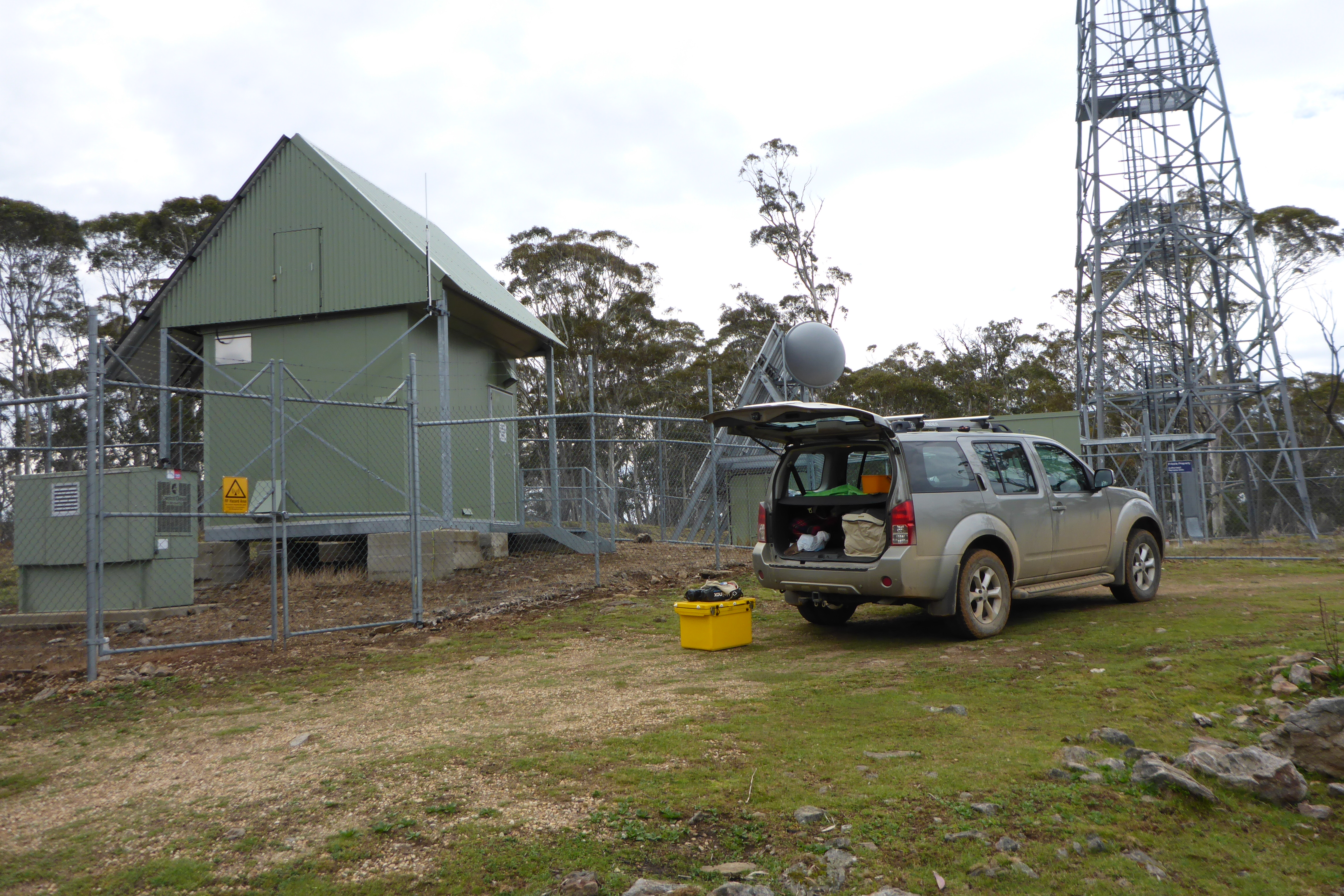
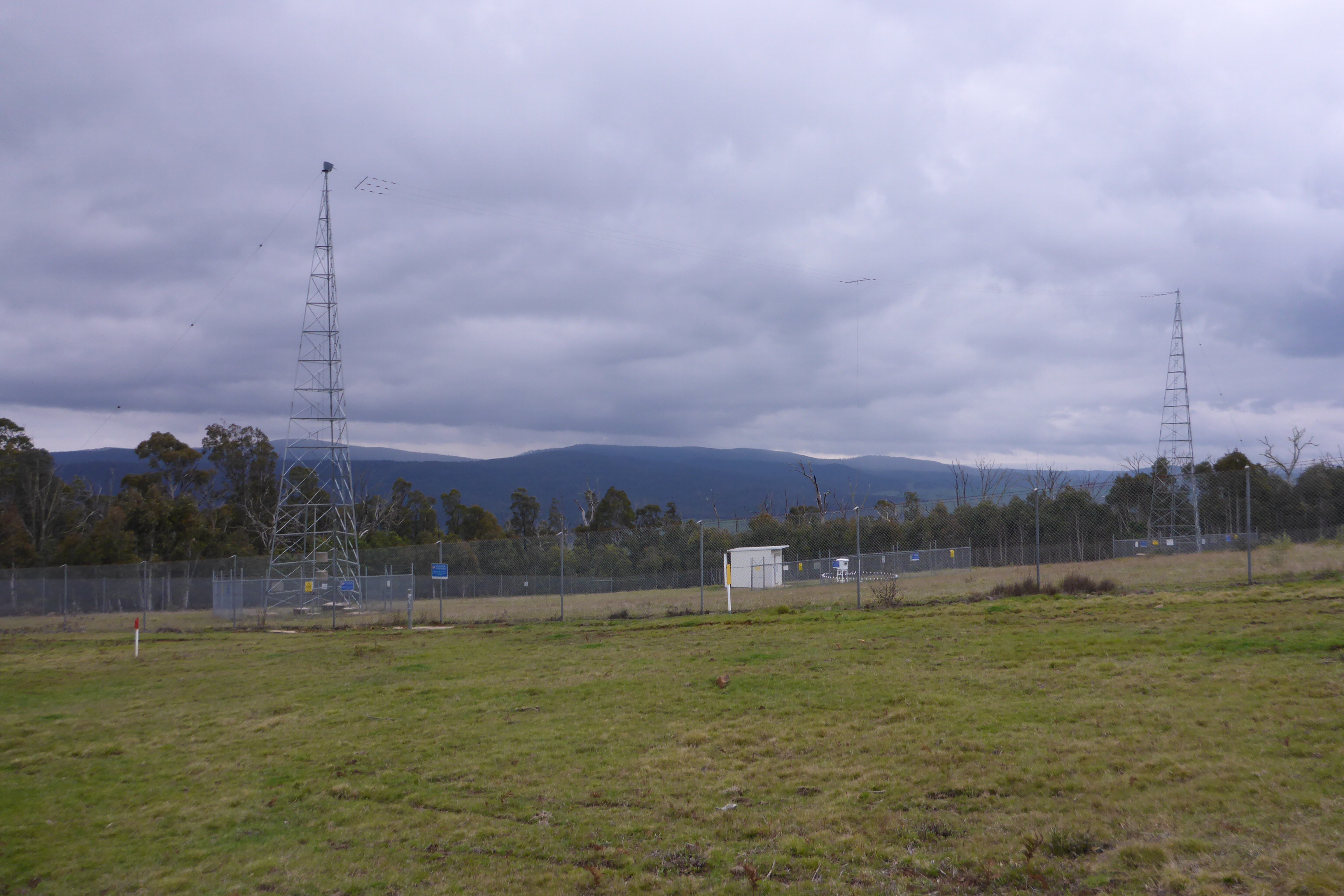
Mt Pendergast communications infrastructure
Mt Pendergast is early on the Misery Trail 4WD track which continues for many kms to two more unactivated 10 point summits (Mt Misery Range and unnamed summit VK3/VG-009). Mt Pendergast is also a communications site with significant infrastructure.
Operating a short distance from the comms enclosure – interference didn’t seem to be a problem.
It did not take long to drive to Mt Pendergast and I was set up and ready to call by 8:00am. I could at least spot here and started on the usual 40m band. The first contact was fairly easy with Nev VK5WG hearing me 55 from near Port Pirie. Another 12 mins of calling and a band change to 30m snared Bill VK4ZD near Toowoomba in Queensland. A further 20 mins of calling an another band change to 20m picked up my first contact with Greg VK8GM in Alice Springs with 59/57 report. Another 20 mins of calling yielded nothing more on SSB so I pulled out the paddle again and switched to 7032 where I picked up Gerard VK2IO and Michael VK2CCW thus finally qualifying the summit. A quick check back on 40m closed out the activation with Peter VK3PF on SSB with a 44 report. A total of 6 contacts in 90 minutes of calling – if I hadn’t been able to spot, I doubt I would have qualified it…
The walk to Mt Livingstone starts here
Thankfully the weather remained clear and the wind light. The challenge of activating this convinced me that I was only going to try for easy summits for the rest of the trip. I headed west to Benambra – a town I’d not been to before and thence south to Omeo where I had my first contact with civilization in two days and a freshly brewed coffee.
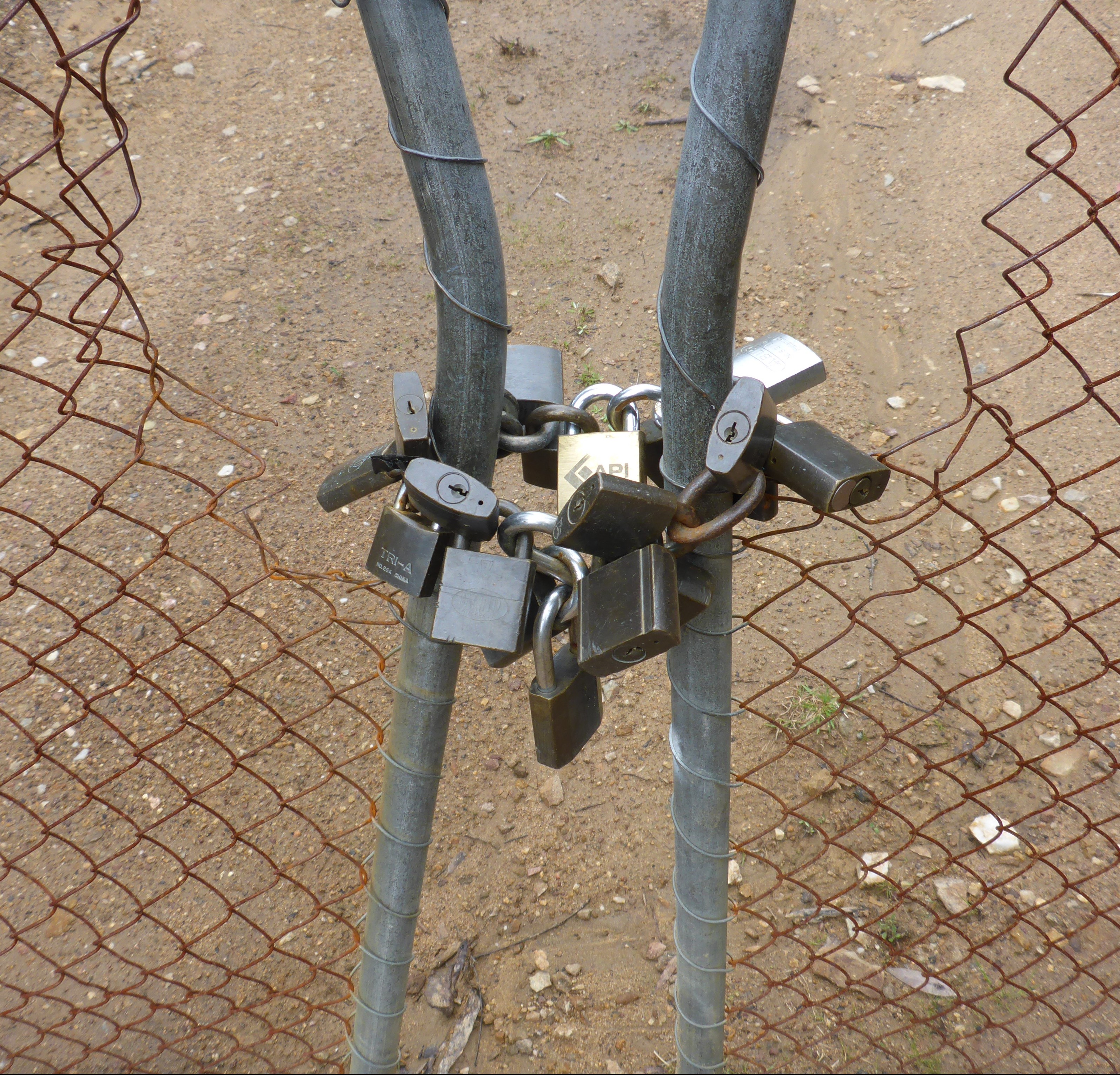
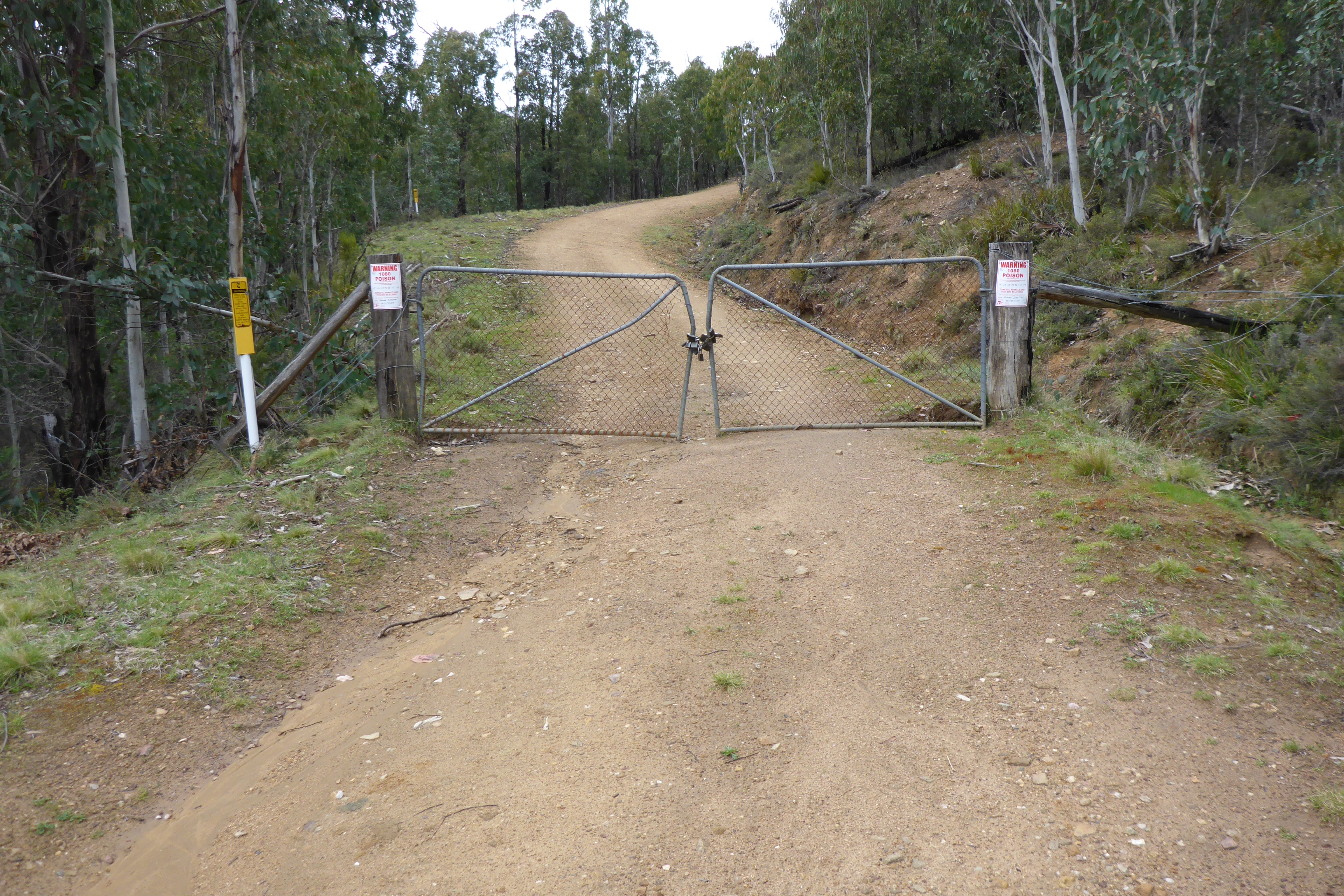
Someone really wanted to make access hard!
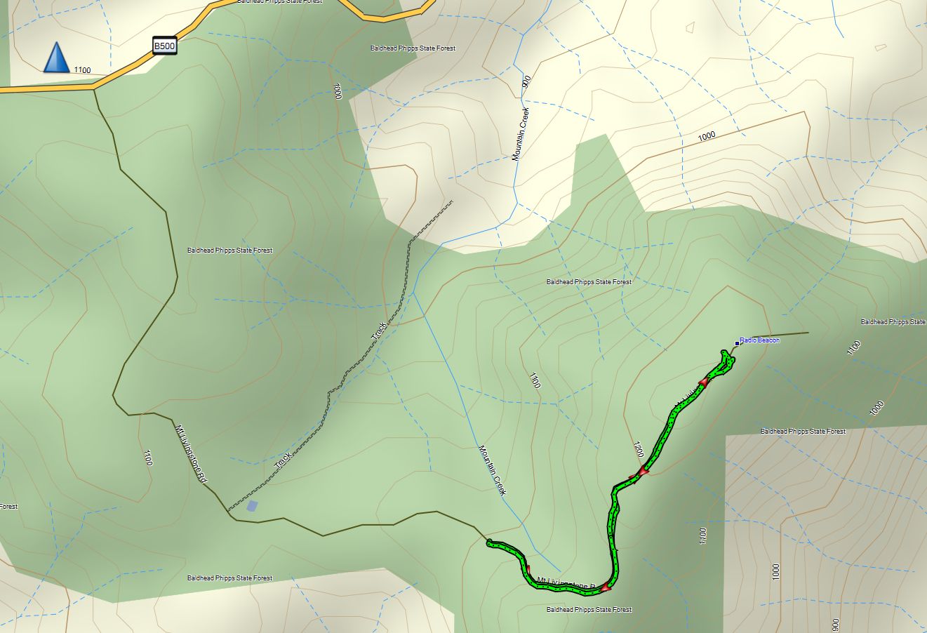
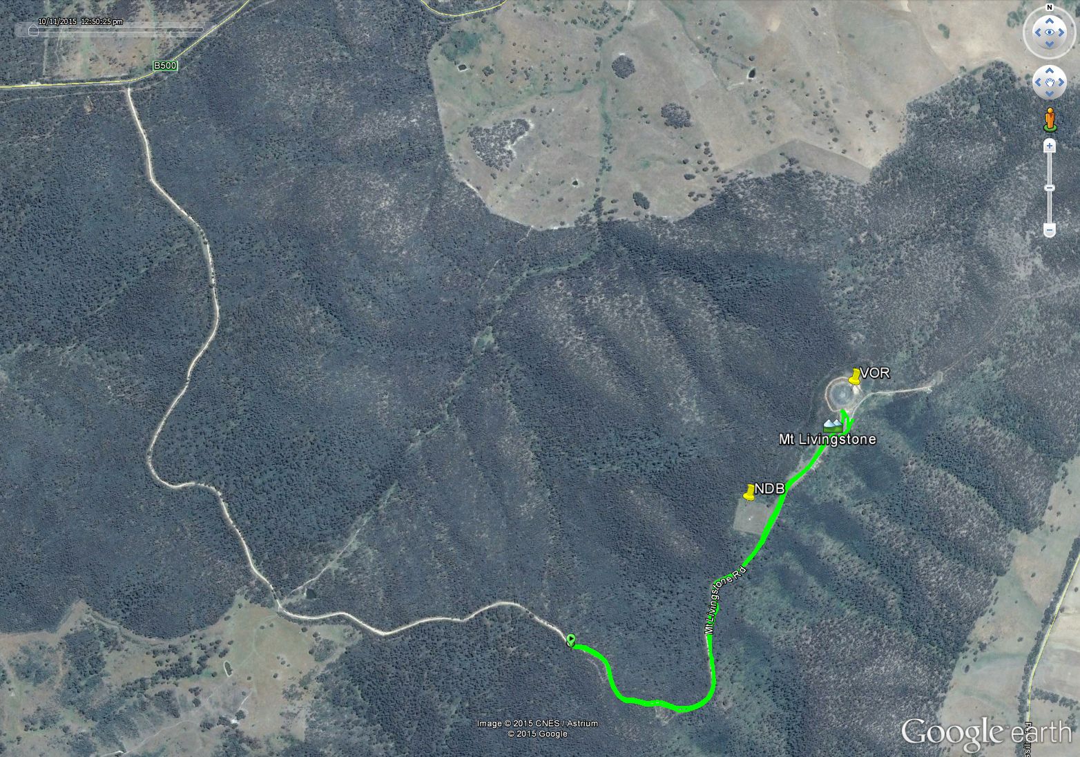
The second target for the day was Mt Livingstone. I had thought this was a drive-up summit from the maps, but found a locked gate 2km from the summit. No matter, I had the pack loaded up and so headed up the road. Compared to the previous day’s hikes, this was EASY – good road the whole way – just 23 mins to the top.
Mt Livingstone NDB – the antenna is a capacitively loaded vertical on 227kHz – this simply transmits an omni-directional carrier which is used by the Automatic Direction Finder (ADF) in an aircraft to determine the direction to the beacon.
I was interested to visit Mt Livingstone for another reason – it’s a major aviation beacon location with both a Non-Directional Beacon (NDB) and a VHF Omni-Range (VOR) beacon (I have a pilot’s license, so take a particular interest in things aeronautical). These have both been in service for many-many years, but both are now scheduled for de-commissioning sometime beyond May 2016 as part of the national transition to satellite based navigation for aviation. Only a skeleton network of this type of aid are being retained for backup. Hence I was keen to see them whilst they were still in service.
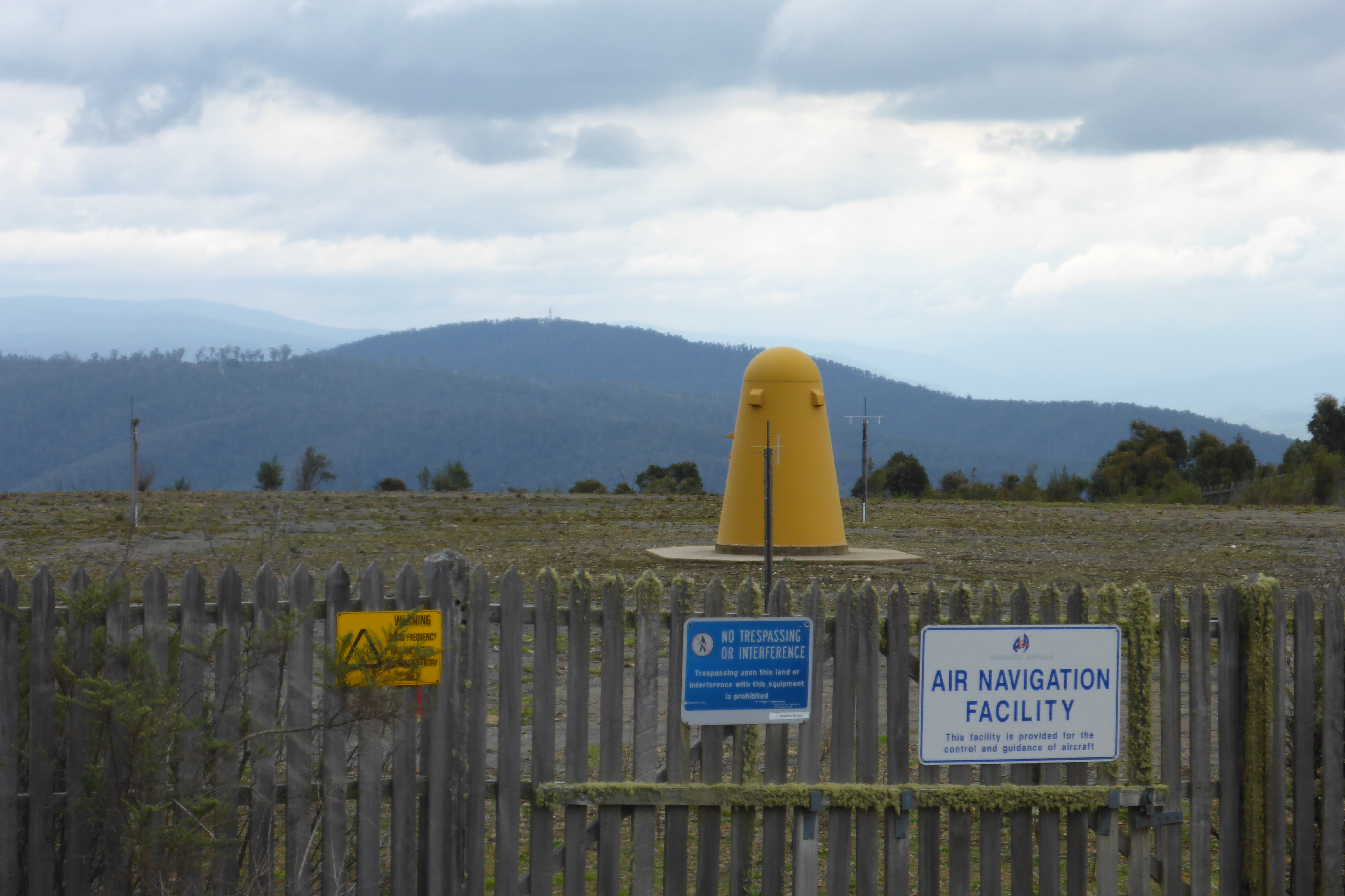
The Mt Livingstone VOR – slightly reminiscent of a yellow Dalek – it’s a VHF beacon operating on 117.2 MHz which includes a directional signal through two tones; an omnidirectional reference tone and a rotating tone whose phase difference to the reference tone gives the angular displacement from magnetic north. Aircraft detect the phase difference and can thus determine their bearing from the beacon.
It’s interesting to see the quality of construction at these sites, particularly the VOR site. Note the wooden picket fence surrounding the entire site – there’s probably 500m of fence! This would have been built around the 1950’s as aviation was growing rapidly and the VOR was the state-of-the-art navigation aid at the time. Of course the wooden fence also had a functional role – by being non-metallic it would have minimized any signal distortions from the beacon.
Anyway, back to radio!
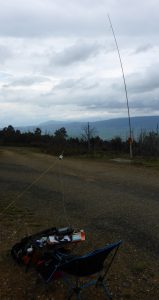
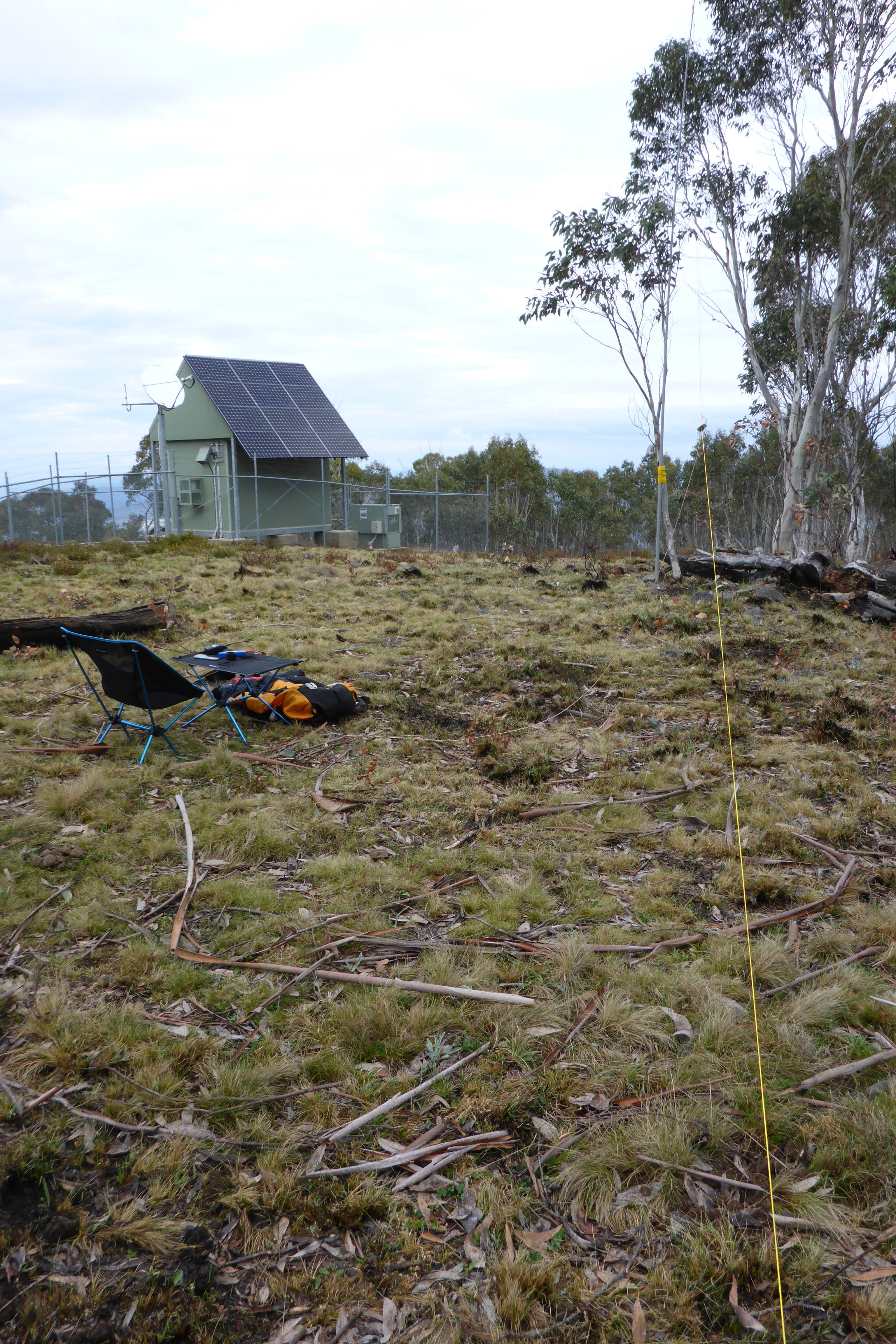
The operating position at Mt Livingstone
I set up on the road not far from the VOR station and tied the squid pole to a convenient post. The weather was slightly threatening and there were a few spits of rain as I sat down to call, so I pulled out the Bothy bag to protect myself and the radio from any showers. Given the easy walk, I had decided to pack my chair and table which made for comfortable operating again.
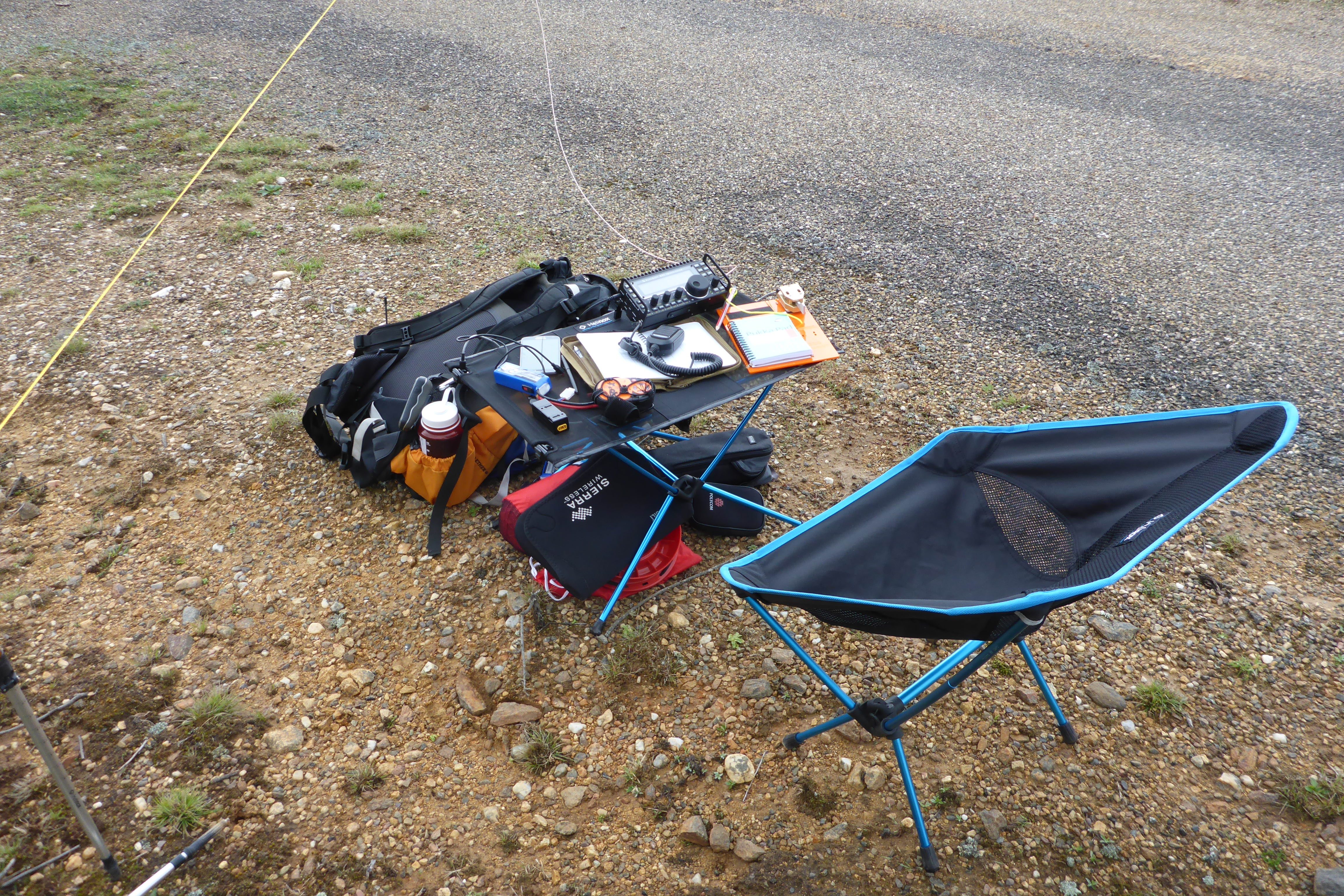
The chair and table are definitely worth the weight when the walk is easy.
You’ll see that I had my paddle out again in anticipation of more challenges with contacts, but it proved unnecessary this time. A spot for 40m soon yielded a small pile-up for the first time in the weekend. I worked 9 stations including a S2S with Murray VK7ZMS on VK7/EC-029 and a good chat to Tony VK3CAT with a respectable 46 report compared to the 36 on Friday evening. This time just 12 minutes for 9 contacts – much better!
Given the unanticipated hike, the time it had taken to activate Mt Pendergast and the 5 hour drive home, I decided to give up on any more summits for the weekend and hit the road. I arrived back home around 8:00pm with 950kms driving and just 35 points – sometimes plans don’t quite work out how you expect. Despite the challenges, it was a most enjoyable weekend getting out into a beautiful part of Victoria I hadn’t seen before. After all that’s what SOTA is about.
Addendum
For this trip I found a very useful iPad app – Mud Map High Country ($50). It has good 4WD maps of the majority of the Victorian High country. I imported a GPX waypoint file of the SOTA summits and loaded that into the program. It now provides good detailed maps with all the summit locations overlaid. Very useful once you leave the main roads and head into the bush.
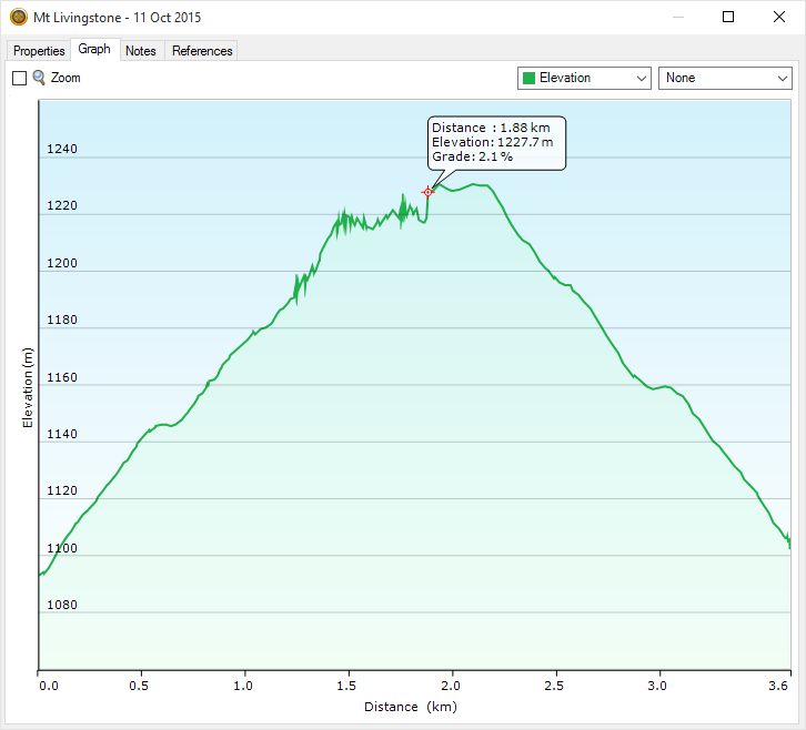
Mt Livingston walk details
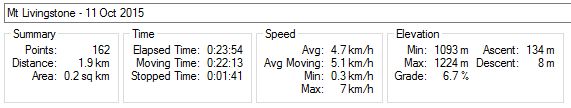
Mt Livingston outbound
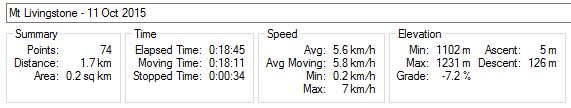
Mt Livingstone return