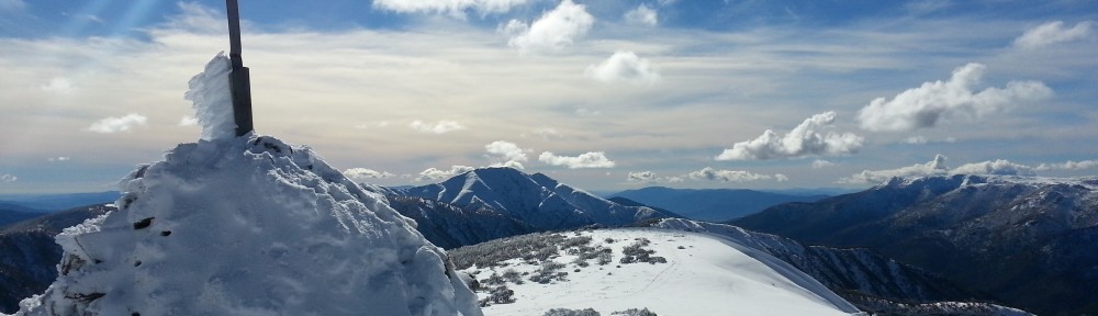
This year, my daughter is attending a year 9 live-in programme in the foothills of the High Country east of Lake Eildon. This weekend, they had an open day and so naturally I wanted to visit her to see how she was going. This provided a bonus opportunity to activate some nearby peaks. I had wanted to do Mt Torbreck (lead photo) for some time and this proved a good opportunity, so I planned a late Saturday activation followed by an overnight at the Barnewell Plains picnic ground. With an early start on Sunday morning, I could squeeze in an early morning activation before travelling to the open day and then there would be time for a late afternoon activation on the way back to Melbourne. As it happened, the weather co-operated and I managed to achieve all these objectives.
The weather forecast for the weekend was outstanding for this time of the year with clear blue skies and no wind for both days. I got away from Melbourne around 10am on Saturday and headed straight for Mt Torbreck via the Maroondah Highway. I arrived at the junction of Conn Gap Rd and Barnewell Plains Rd around 12:30pm. In winter, this is as far as you can drive as Barnewell Plains Rd is closed in winter. The temperature was around 6 degrees, but comfortable given the lack of wind.
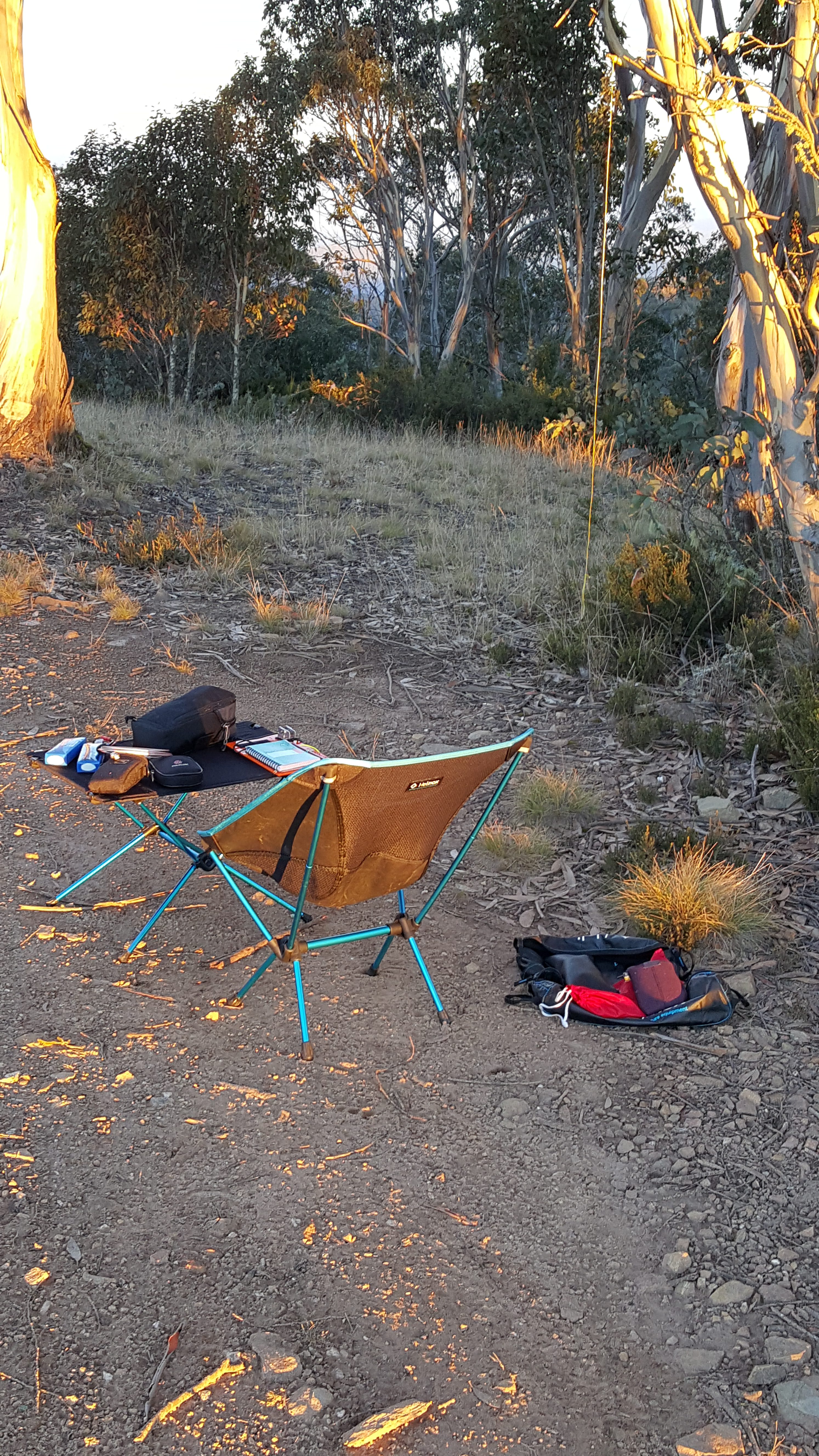
I put on my backpack with all the gear I’d need for the activation and a night’s camping coming to 19kg – I left the amplifier and squid pole in the car and rationed myself to 2 litres of water to keep the weight down to that level.
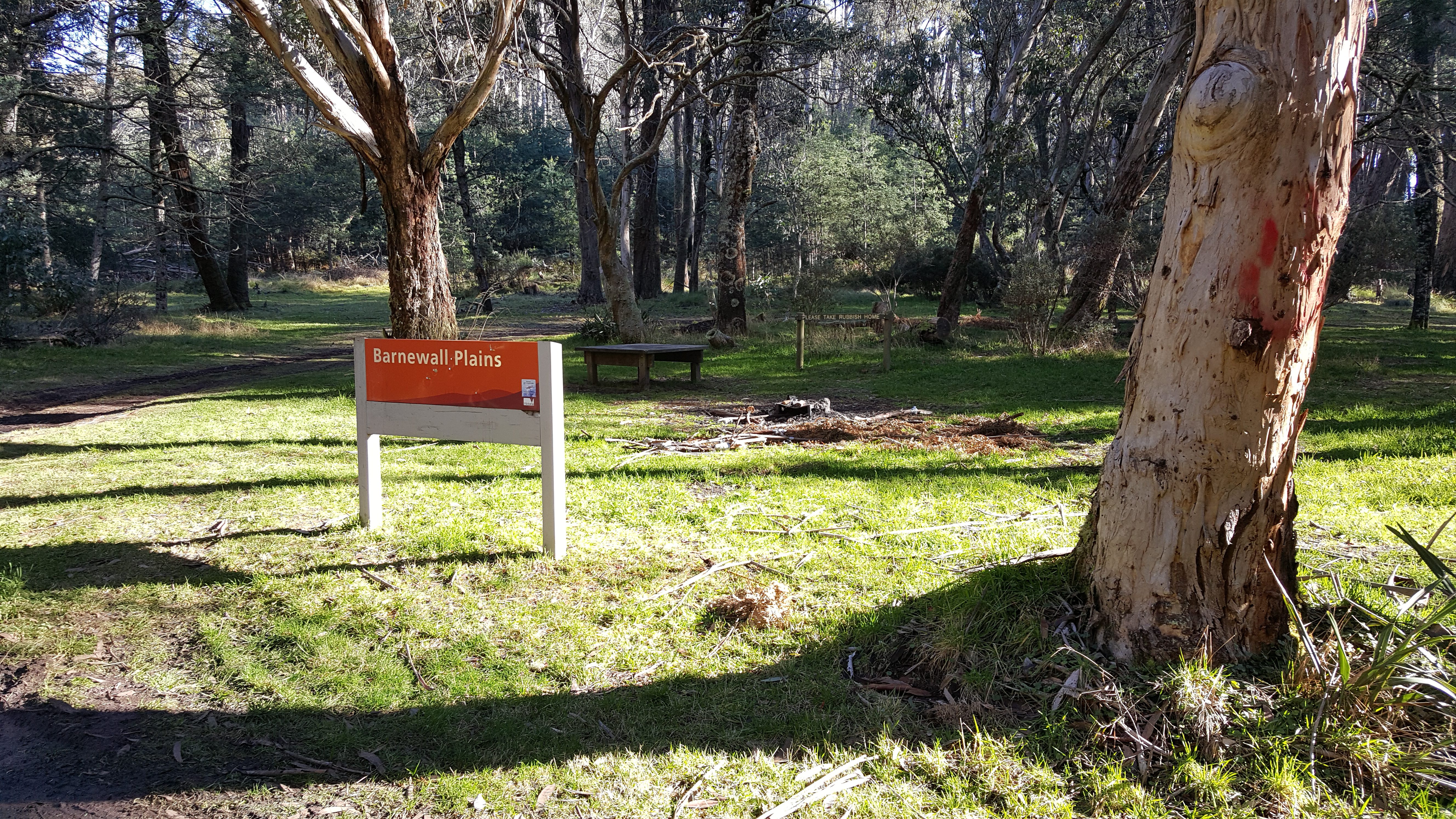
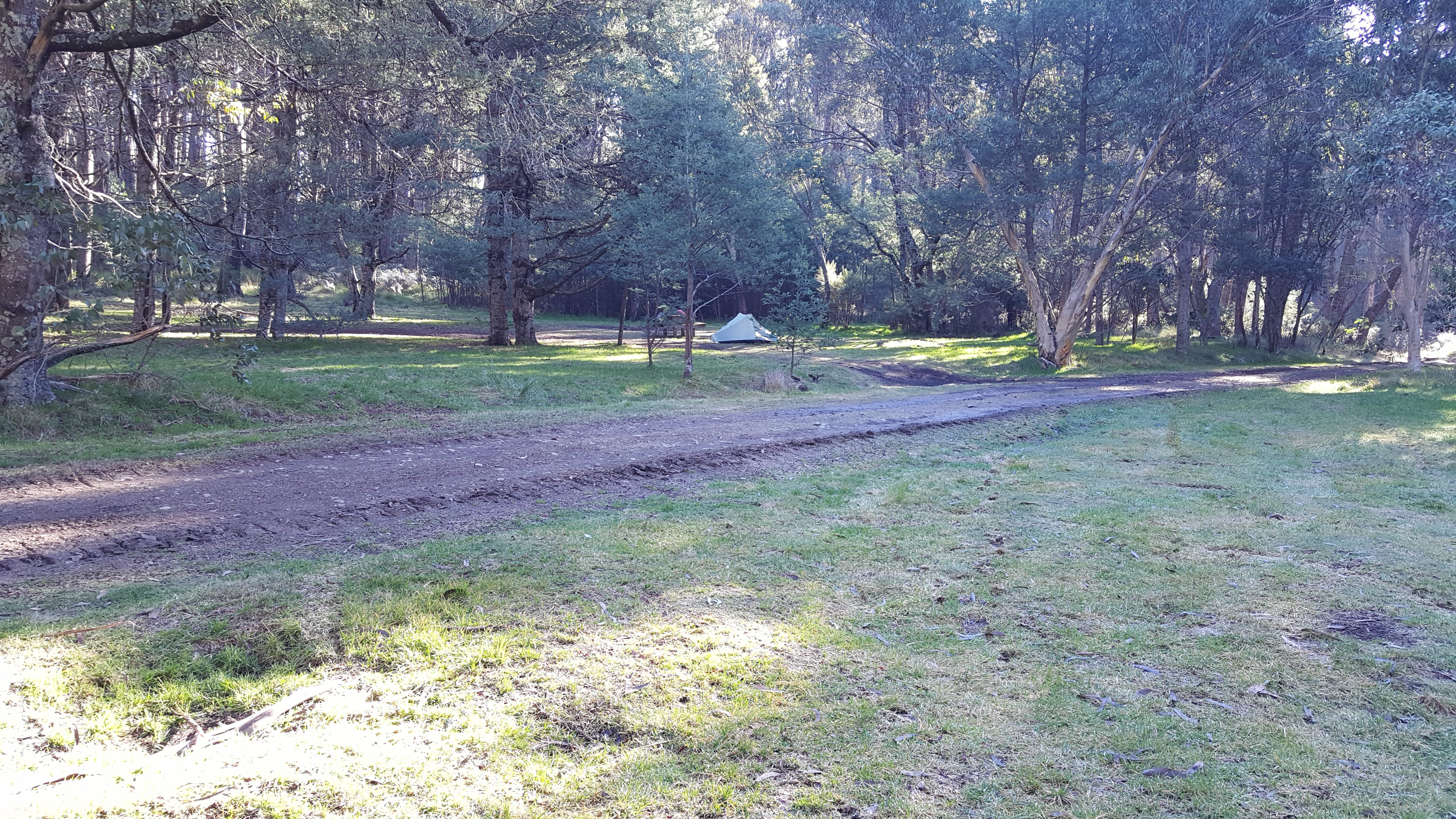
 The first part of the hike is around 1.8 km along Barnewell Plains road up to the Barnewell Plains picnic ground. This road is quite steep and is definitely 4WD only with a muddy loose surface. I stopped at the picnic ground to set up camp for the night and remove the unnecessary items from the pack for the climb up Mt Torbreck itself.
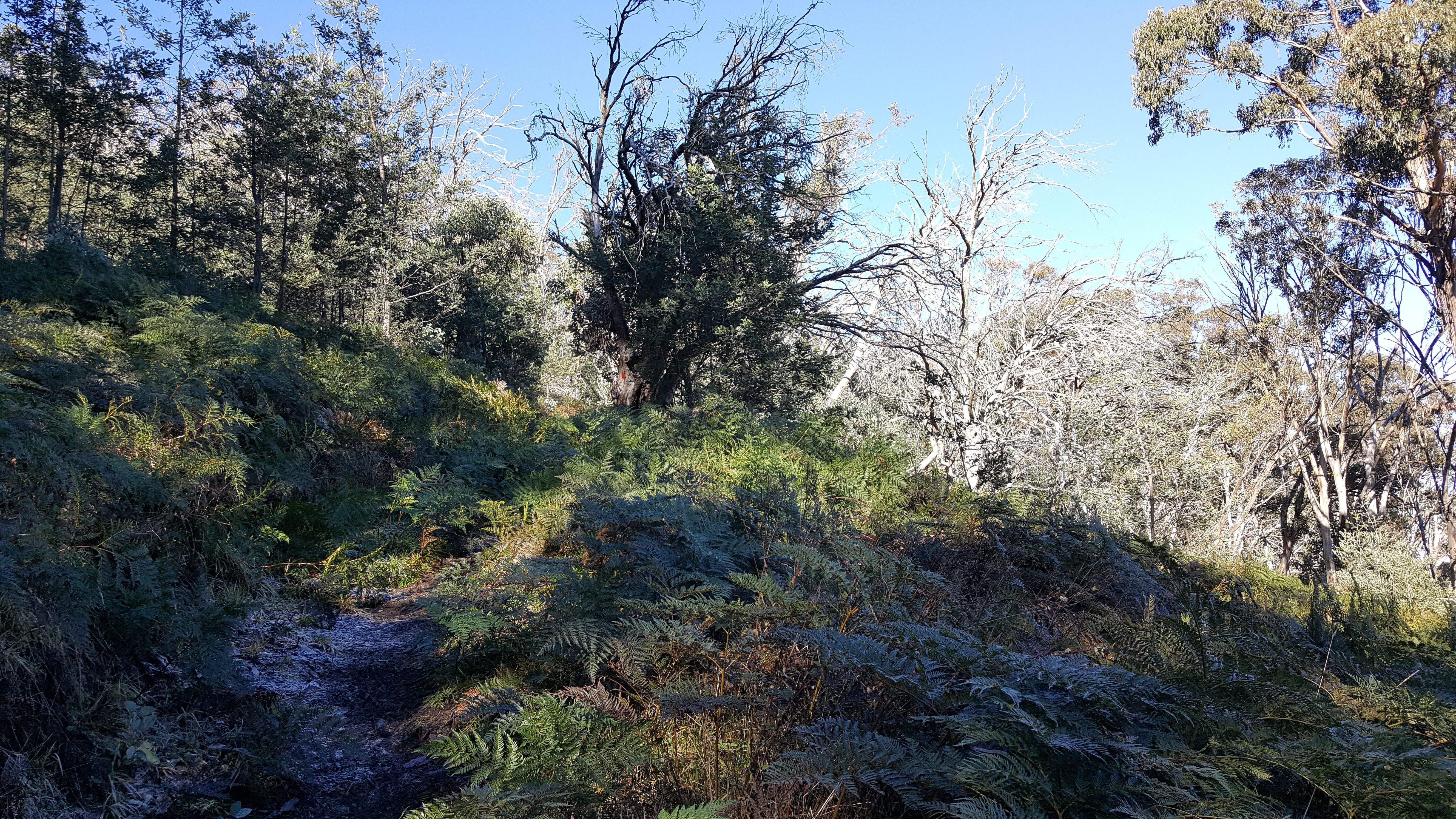
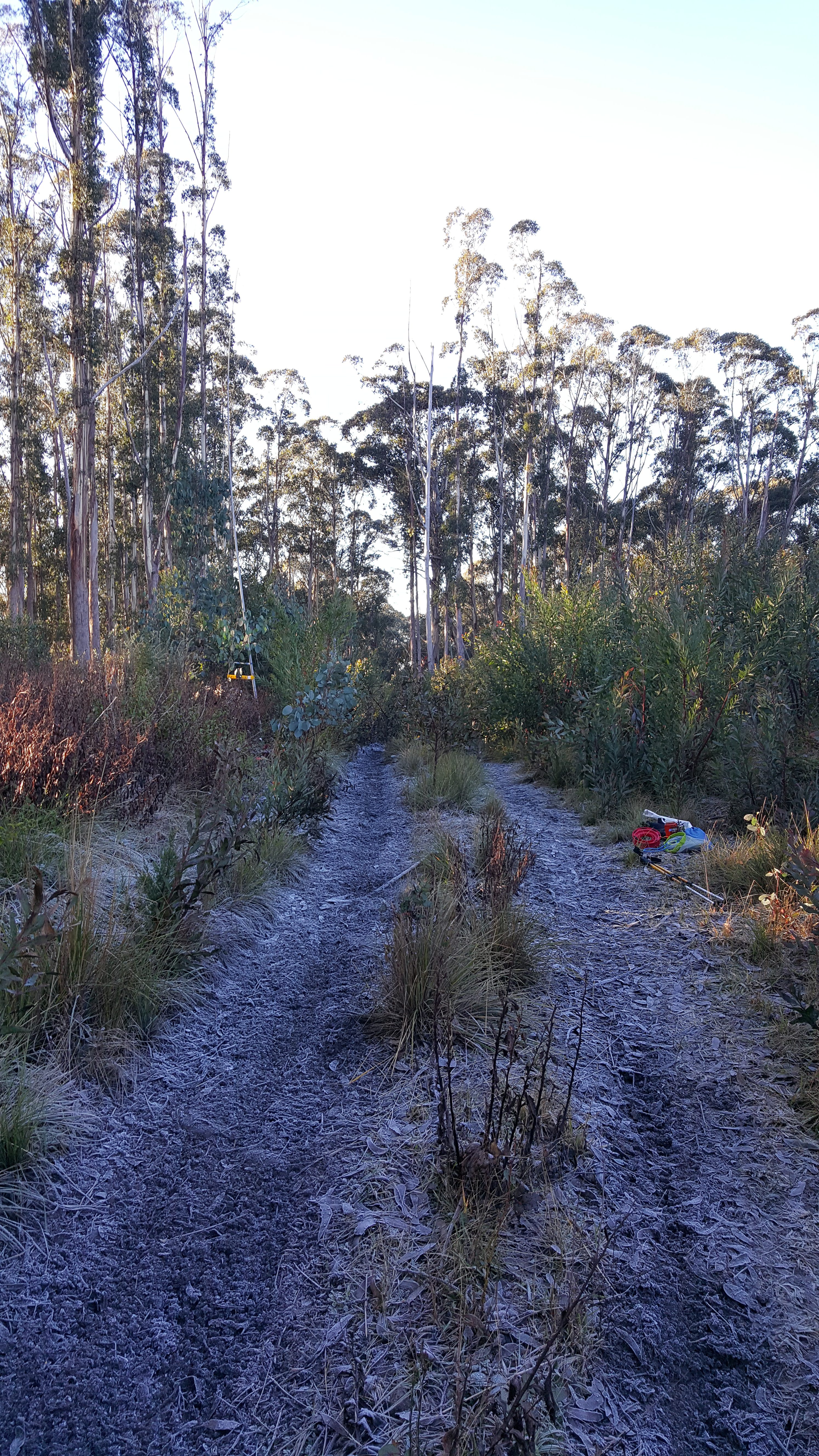
The track was a bit frosty, but no snow.
The track up Mt Torbreck is quite steep, but well marked. Near the top there are many boulders and snow gums to work around.
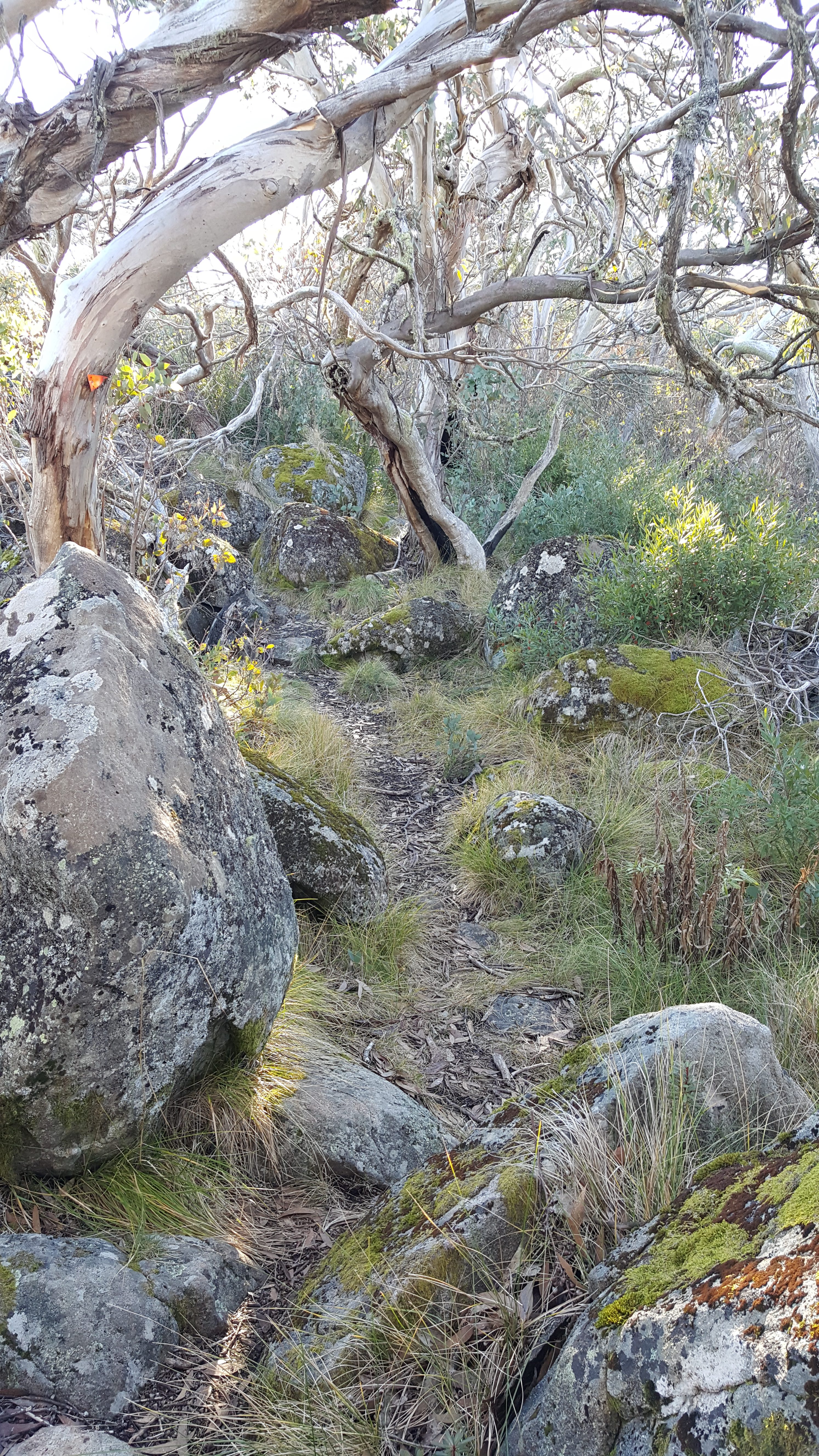
There are lots of boulders interspersed with snow gums on the summit plateau
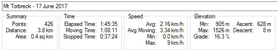
The climb is around 330m vertical in 2km distance and took me about 50 mins. There is a very large cairn at the top with excellent views although there was quite a bit of cloud in the valleys when I visited (see the lead photo).
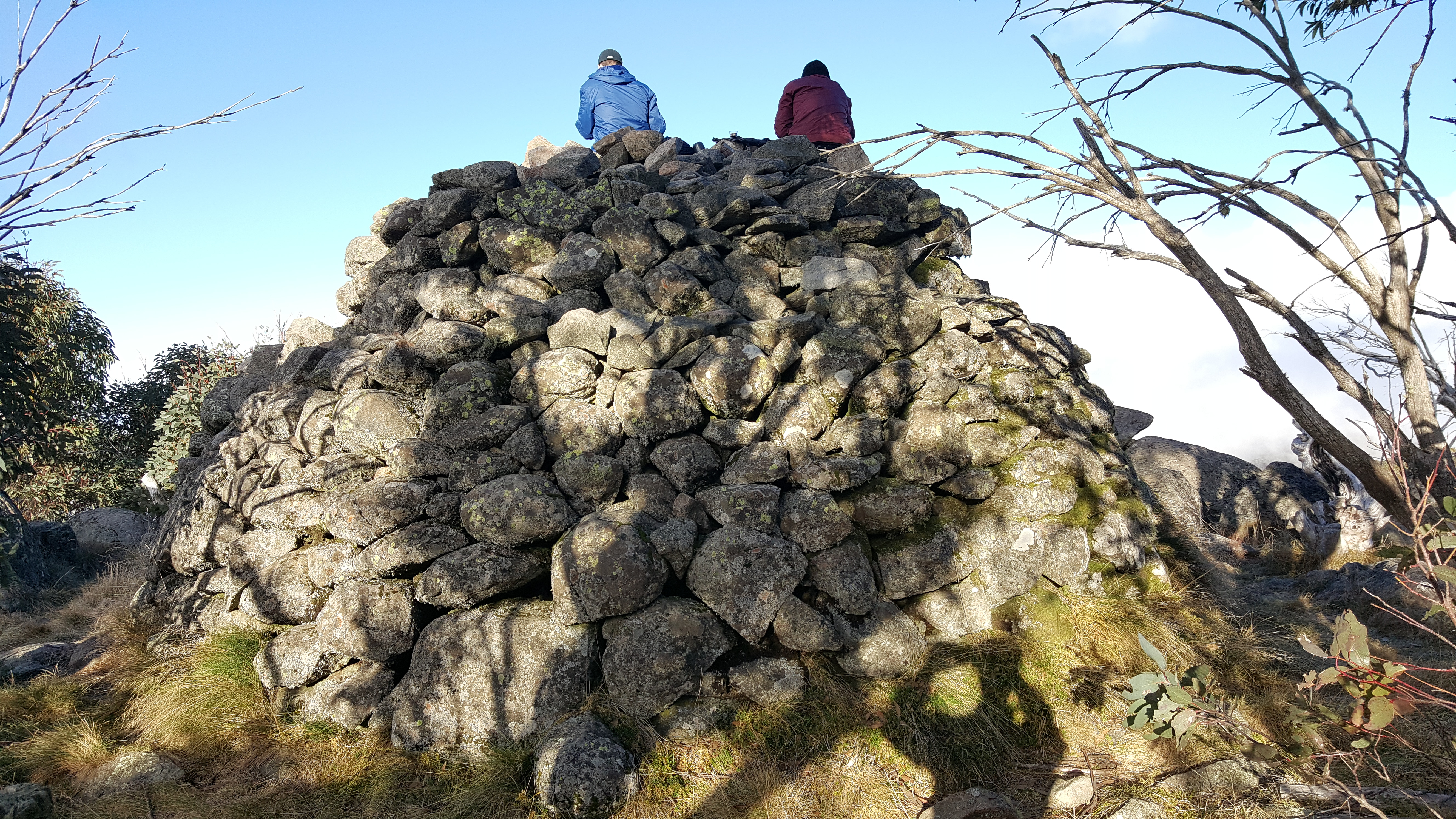
With all the trees at the top, you need to climb the cairn to see the view
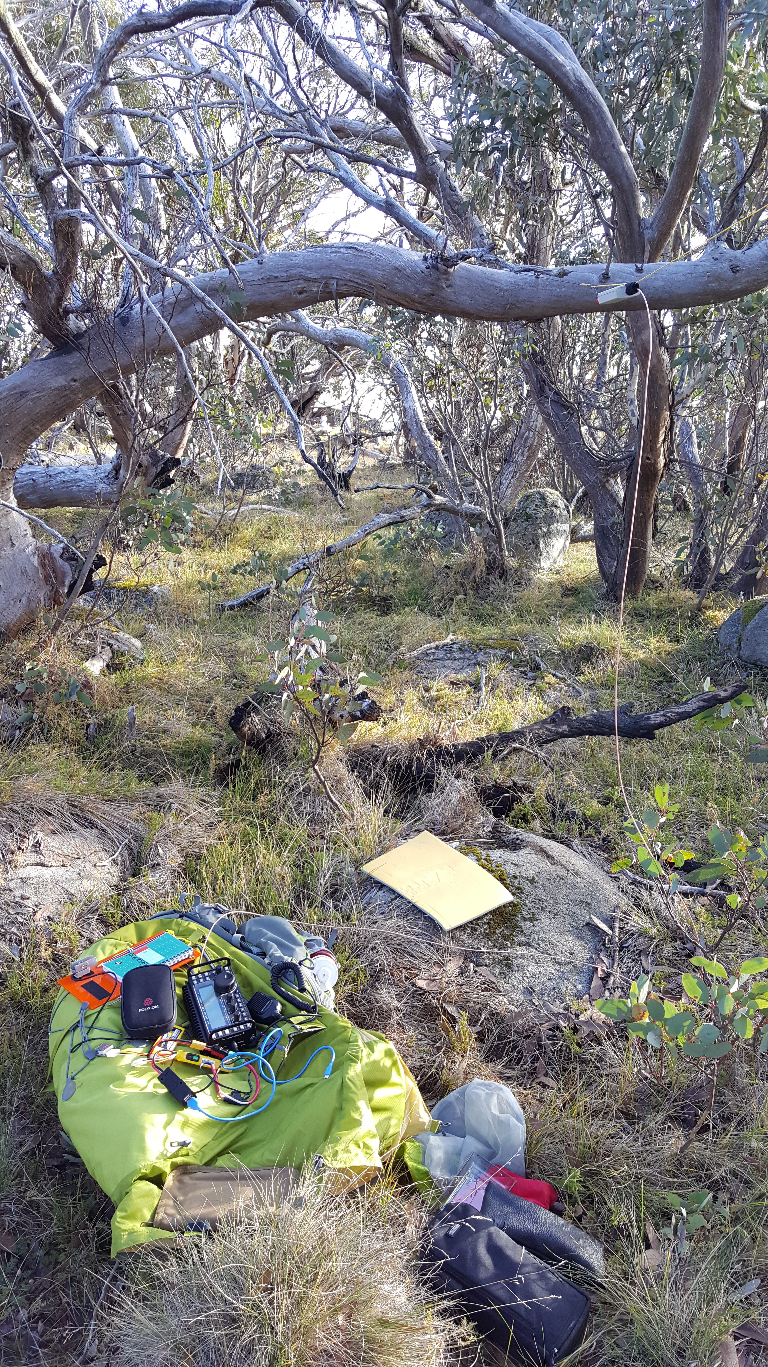
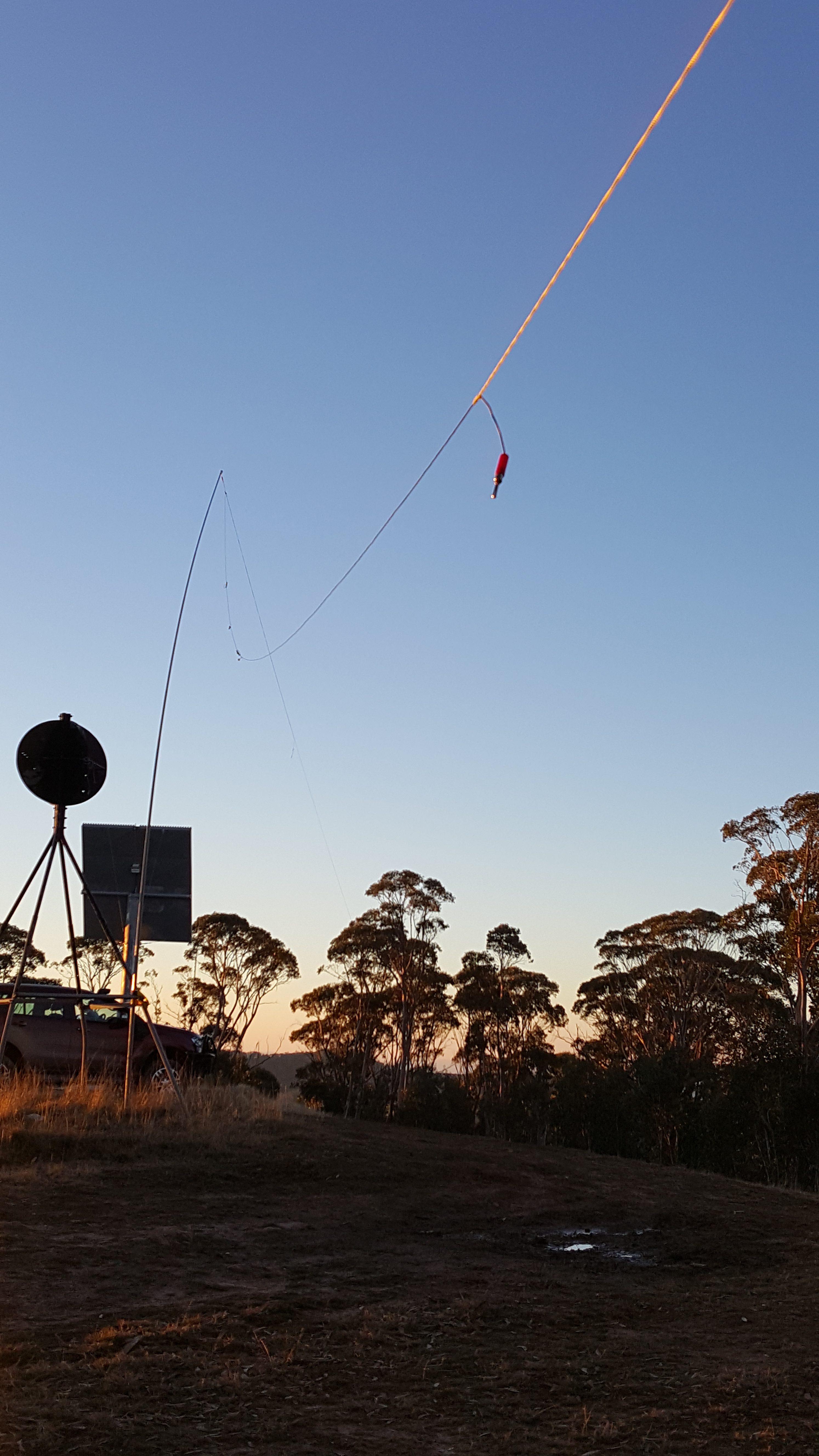
The antenna was suspended from the trees, but only about 4m high at its peak due to the low snow gum height
I found a less densely treed area a few meters back from the cairn and suspended my EFHW antenna from the snow gums. Activating VK Porta-a-log I saw a spot for Gerard VK2IO on VK2/MN-193 on 7.090 and managed my first contact as S2S.
I then tried to spot on 7.095, but couldn’t get it onto Sotawatch due to poor mobile data connectivity. I called for about 15 mins with no response. I finally tried spotting using the Parks’n’Peaks SMS gateway and had much more success. The contacts rolled in from ZL1, VK2, VK5, VK7 and a couple of VK3. After working the 40m group, it was 4:20pm and sunset was 5:05pm, so I realised that I had to pack up quickly if I was to be off the mountain before dark.
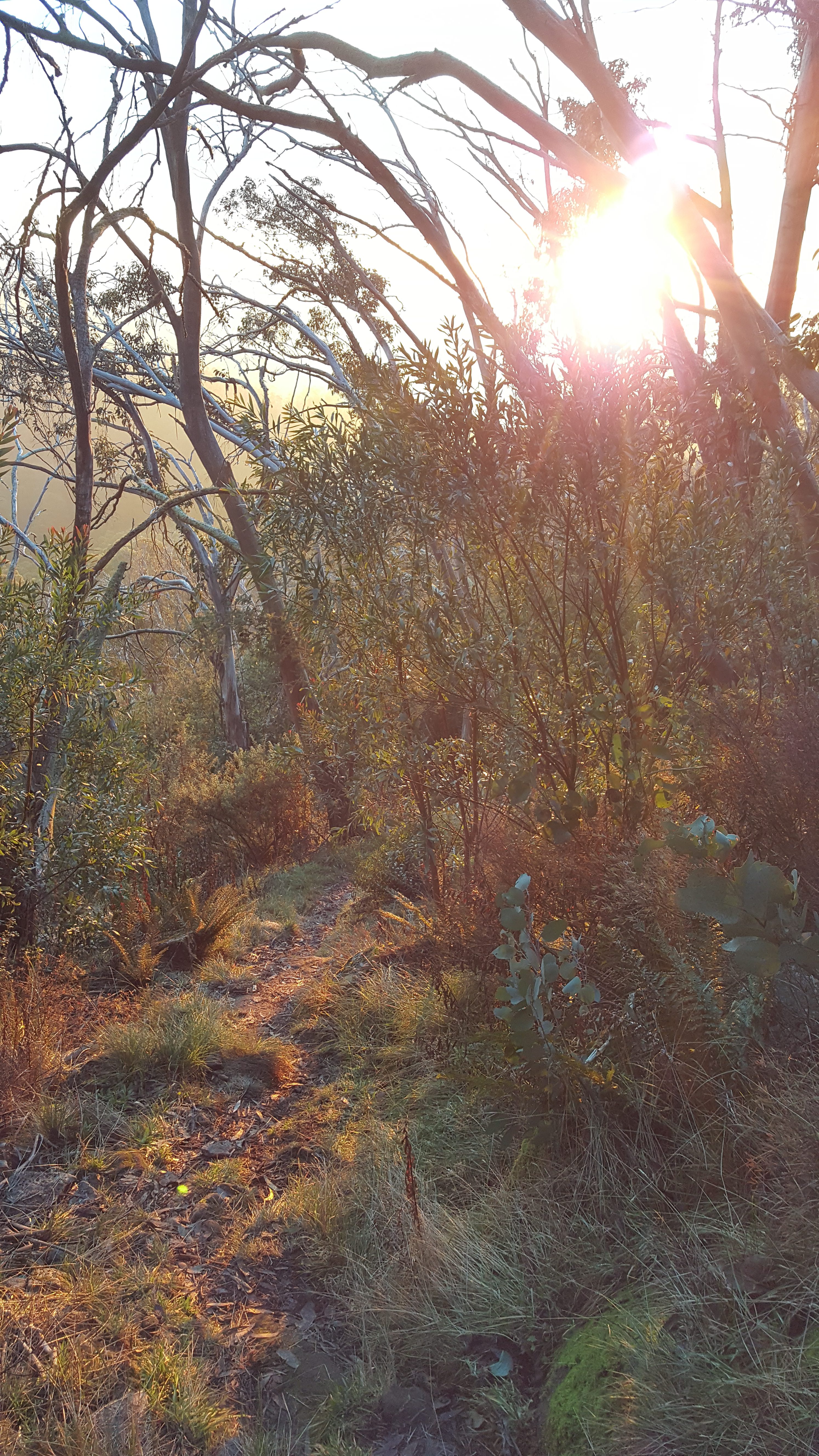
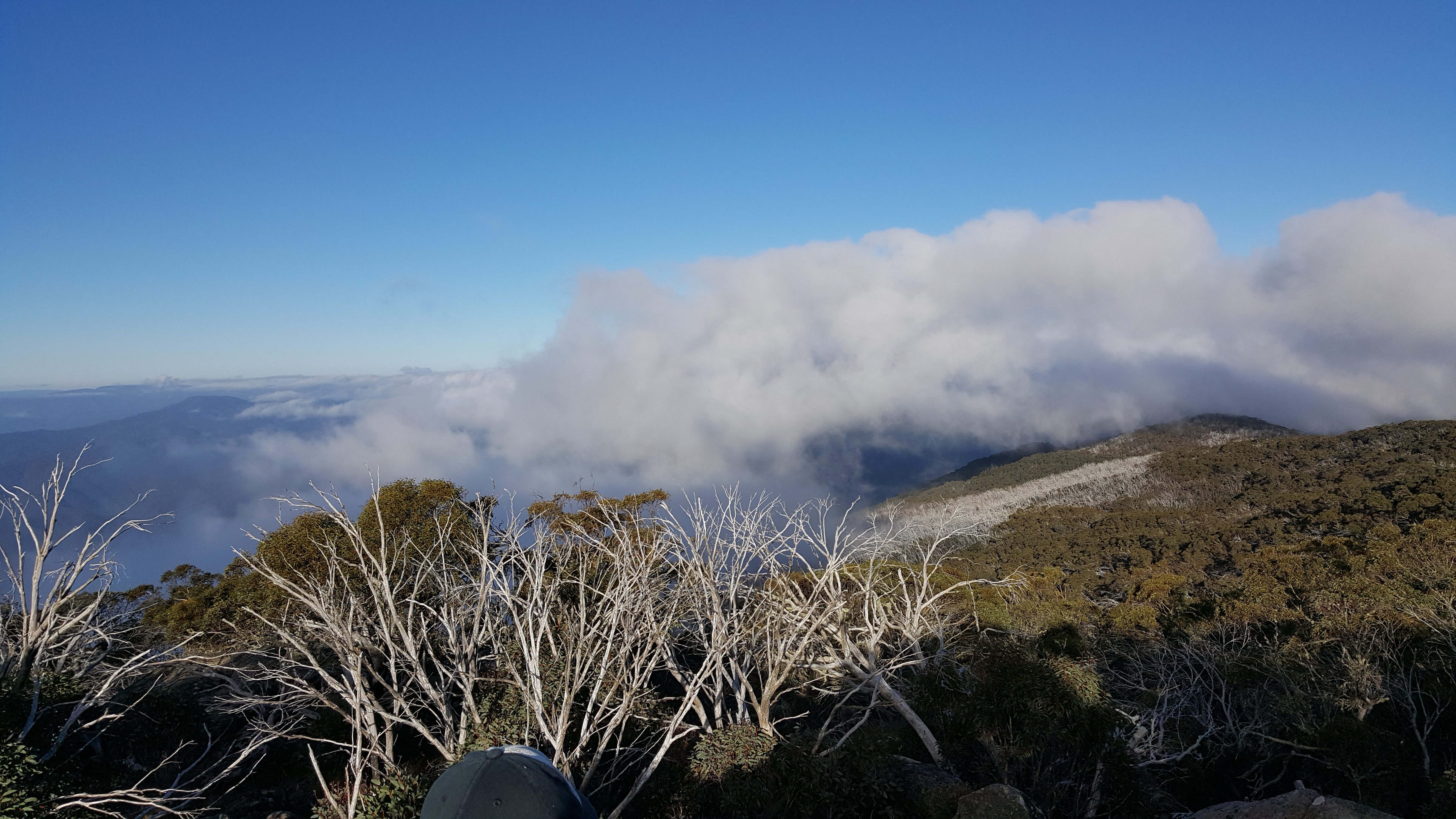
The setting sun through the trees turned the bush golden – the photo does not do it justice
The trip down the mountain to Barnewell Plains was quicker than the way up taking about 35 mins. I arrived back at camp just as dark was falling.
The track has to be taken carefully on the way down as there are some big steps and lots of obstacles. I have new respect for Wayne VK3WAM who participated in the John Moyle Memorial Field Day in 2014 in a thunderstorm from here. Wayne made 2 trips down the hill to bring all his gear down – in the dark – in a thunderstorm!
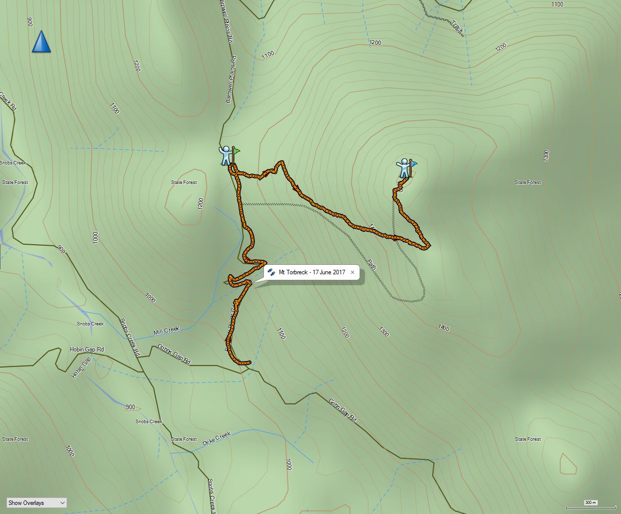
Here are the stats for this walk for anyone else planning it – it includes about 30 mins at Barnewell Plains setting up camp:
Conn Gap Rd to summit stats. Note that the minimum elevation was actually 980m.
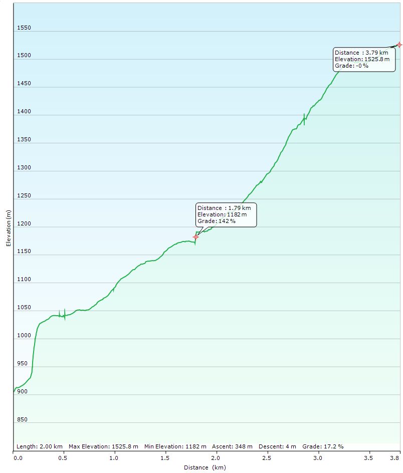
The marker at the halfway point is Barnewell Plains. The first very steep section is not correct as the GPS was still finding its location. The start elevation is approx 980m.
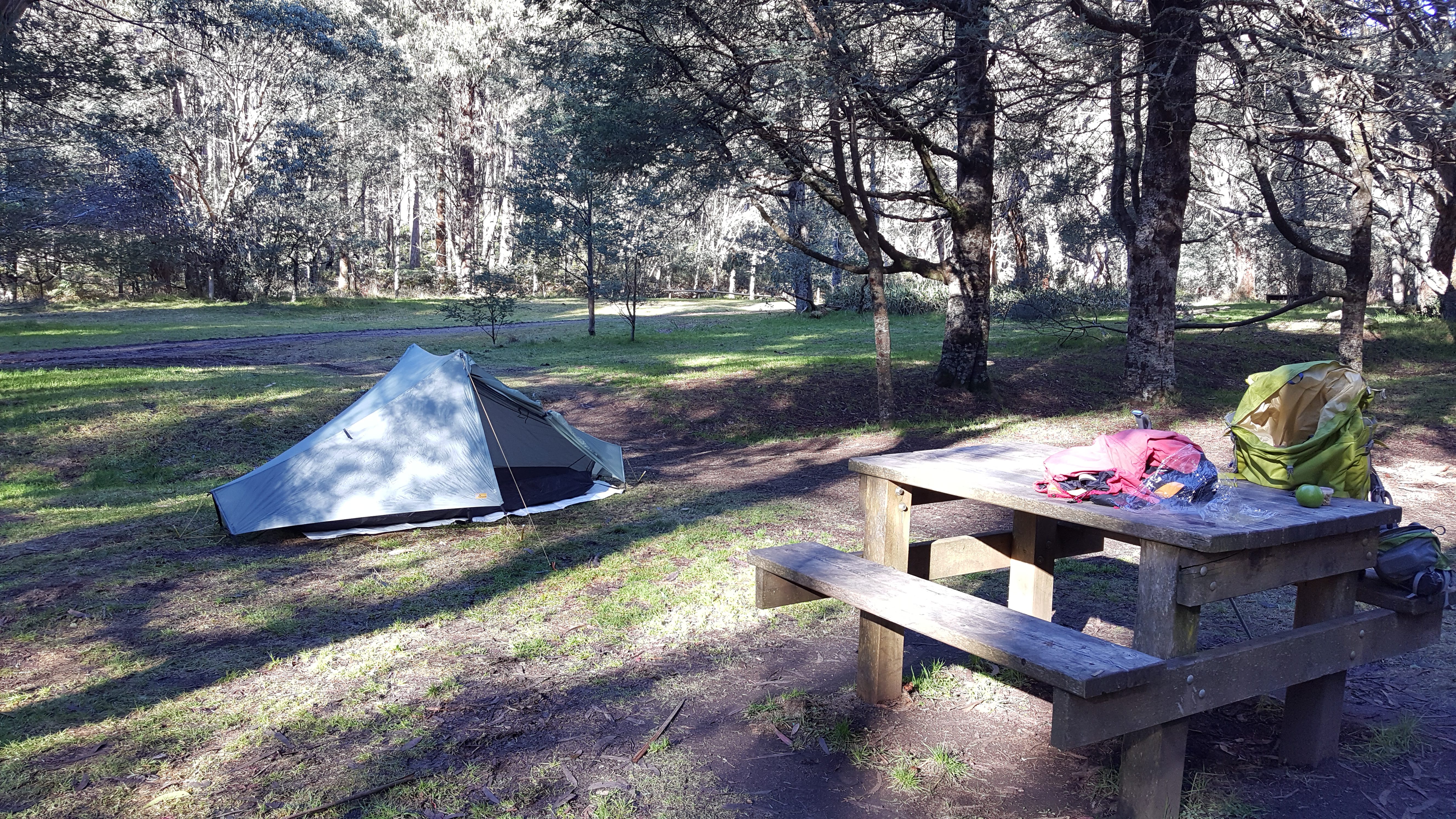
It was quite cold by now, so I fired up the stove and had a hot cup of soup followed by a freeze-dried meal sitting comfortably at the picnic table. It was completely dark by 6:00pm and it got steadily colder. By 7:00pm I’d finished dinner and cleaned up, so hopped into my sleeping bag to stay warm and read for a while before sleep. It was almost completely silent with a display of stars through the trees that you only see in remote places like this.
I set my alarm for 6:00am to ensure an early start given the tight timetable in Sunday.
When my alarm went off, it was still dark with moonlight from a half moon dimly illuminating the camp ground. My torch showed sparkles of frost on the ground and the temperature was around zero. I quickly ate breakfast and packed up the camp setting off around 7:00am with the dawn light providing just enough light to walk without a torch. It was a brisk 25 min walk back to the car and I was thoroughly warm by the time I got there.
It’s only a 10 min drive to Pyramid Hill from Conn Gap Rd. The road is good gravel road suitable for 2WD vehicles. In winter, Roysten Range track is closed with a gate about 100m from the start of the track. There is a large parking area here and is the starting point for the walk. In summer it would be possible to drive right up into the activation zone, but only with a high clearance 4WD as the track is steep, muddy and rather overgrown.
I was on a tight schedule as I had 2 hours drive to get to my daughter’s school open day on the far side of Lake Eildon by 11:30. I hiked up the track as fast as I could breathing very heavily the whole way up!
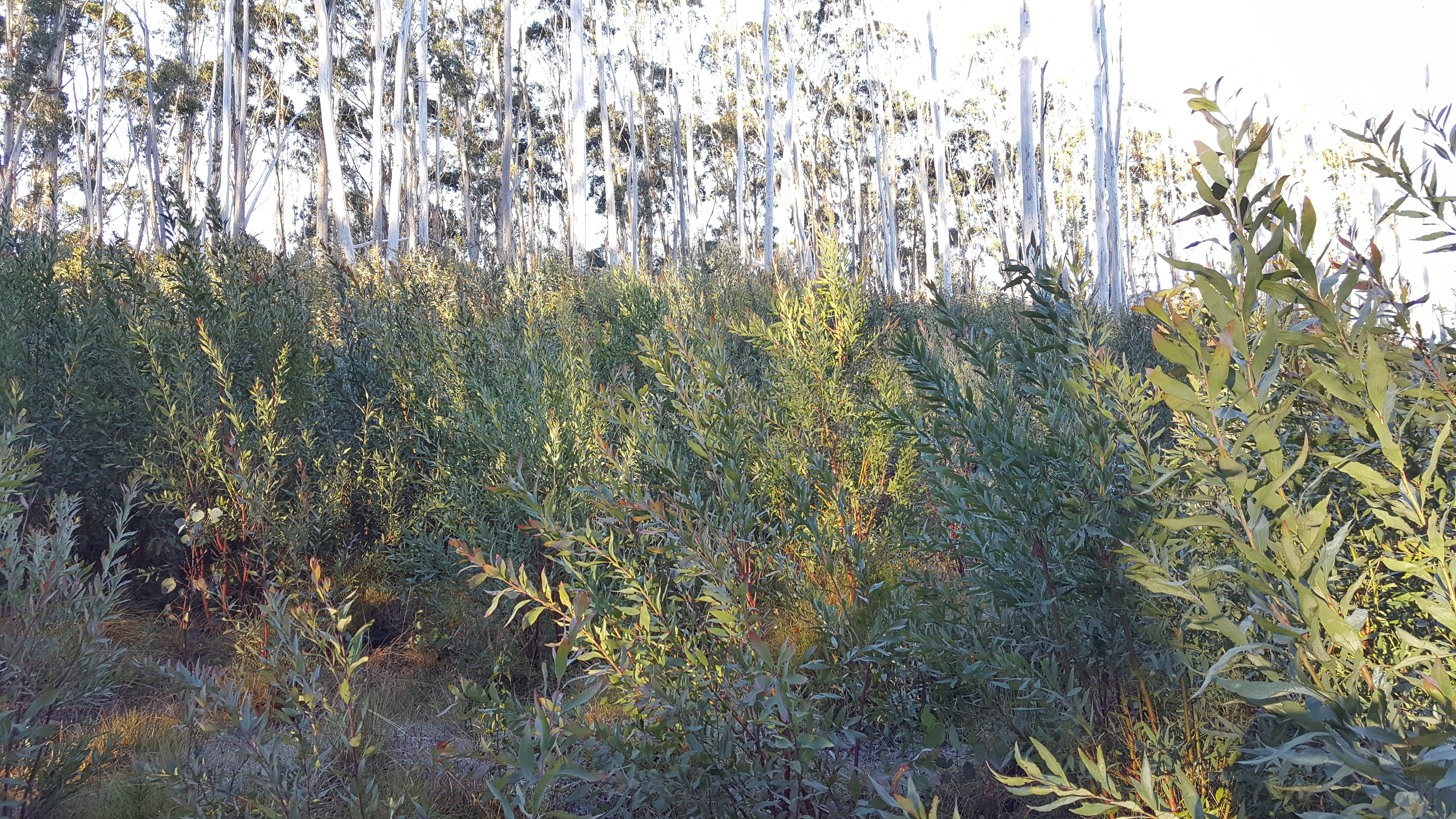
The re-growth looking up to the top of the summit
The track enters the activation zone which is a good thing as there is now substantial thick re-growth between the track and the actual summit that would be challenging to negotiate.
Royston Range track passes through the activation zone of Pyramid hill – this is a good thing given the density of re-growth in the area
I set up on the side of the track on very frosty ground and jumped on air as quickly as possible. Here I had much better mobile coverage and saw to my surprise that Gerard VK2IO was on another summit on 7.090! I logged my second S2S with him for the weekend then switched to 80m as I knew I would get contacts quickly there. After spotting, I was rewarded with a good list of regular chasers easily qualifying the summit.
I wasted no time packing up and heading back to the car getting on the road about 9:20. There was no traffic to speak of this early on a Sunday morning and I made it to the school on schedule. I spent a very pleasant lunchtime with my daughter who is loving the heavily outdoor focused programme and farewelled her at 2:00pm when all the visitors left.
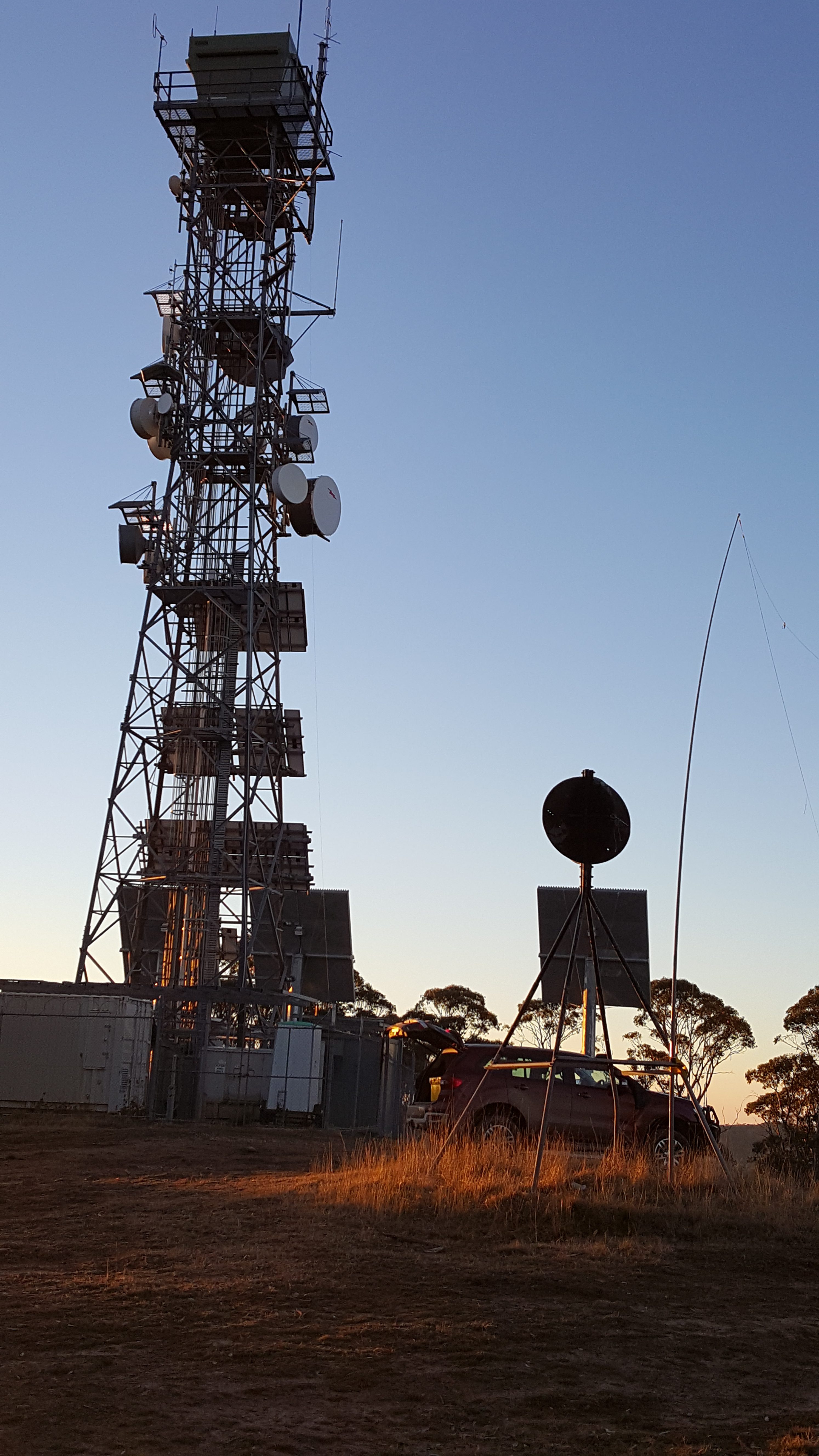
Mt Matlock comms and fire tower
I headed on down the Jamieson – Woods Point Rd for my final summit – Mt Matlock (VK3/VC-001). This is a long and winding gravel road that eventually takes you to Corn Hill Rd and on to the firewatch tower and telecoms installation on the top of Mt Matlock.
Corn Hill Rd is OK for 2WD vehicles, but still quite rough. There are however a lot of 4WD only tracks around here, so you need to be careful with navigation.
I arrived about 3:45pm to a deserted hill top with a lowering sun and again no wind. Setting up was easy here as there is a trig point to hold the squid pole and plenty of room for antennas.
Being a drive-up, I could be a bit more comfortable!
I had resolved to give CW another go here, so spotted on 7.030 and called CQ for a while. Soon John ZL1BYZ came back to me at a rapid pace and I had to send QRS to make sure I had the callsign right. His signal was strong and easily readable. I called CQ for a while longer, but had no further takers, so switched to SSB.
The antenna was easily stood up with the trig point as a support for the squid pole
To my great surprise, I found Gerard VK2IO was on yet another summit! So I made it a hat-trick of S2S with Gerard on 40m. Given the sun was descending rapidly as was the temperature, I switched again to 80m and had no less than 10 callers, nearly all VK3, but did also pick up Andrew VK2UH in Yass and Jacky ZL1WA which was a good distance for 80m in the daylight.
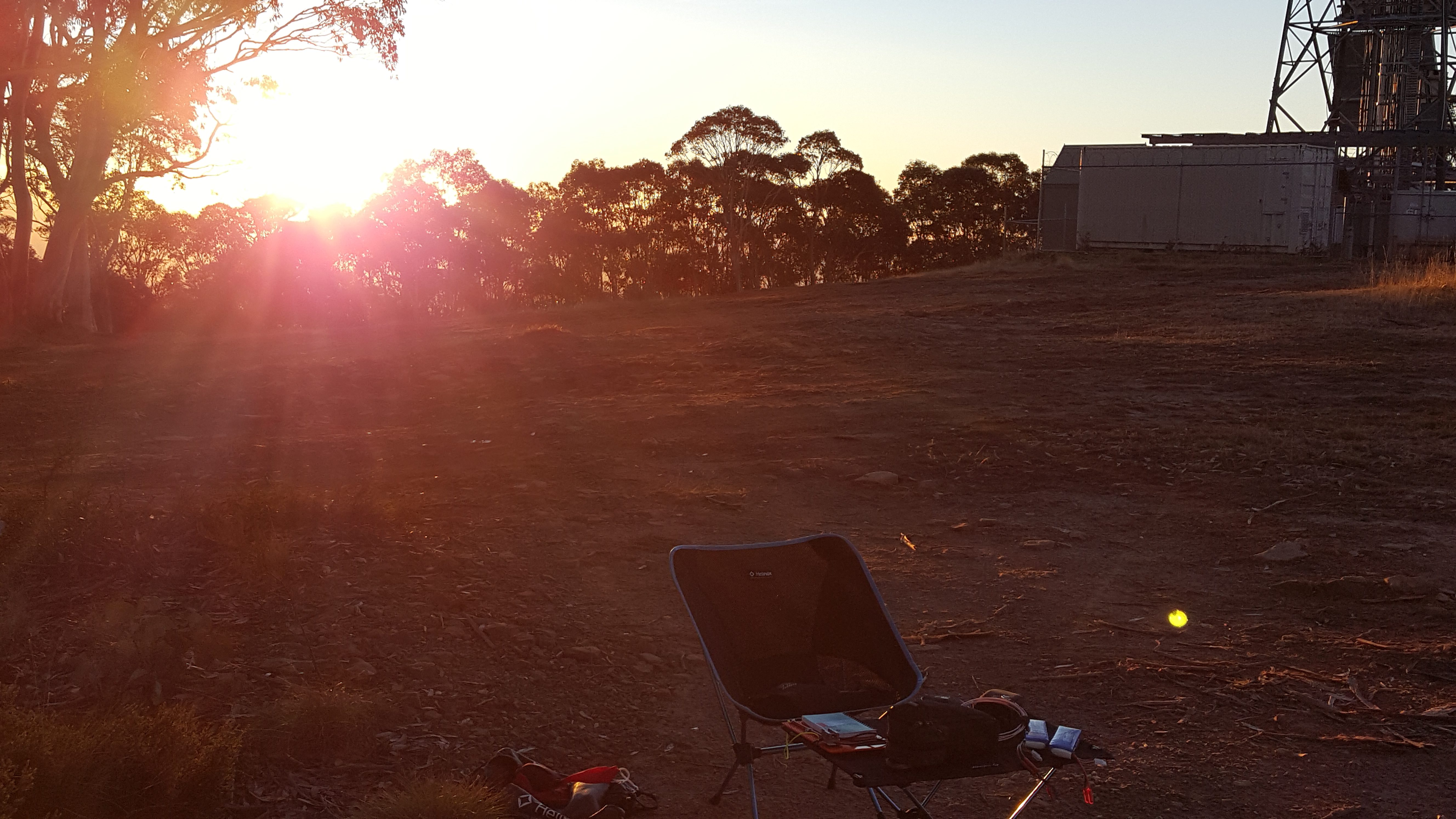
The sun sets on an excellent activation
Packing up as the sun was disappearing behind the hills was quite chilly and I was glad to be back in the warm car heading for home. The road is again long, winding and mostly gravel and I was very glad of the light bar on the car to give me good visibility in the dark. On Tony VK3CAT’s advice I headed back through Marysville and down the Black Spur taking 2:45 to get back home.
Another good weekend in the hills and a few more points towards Goathood.
Hi David
As usual a thoroughly enjoyable read! A great activation and a most useful description of the summits and the work required to get to them.
73
John D
VK5BJE/VK5PF
Thanks John.
Thanks for the post on these two summits David. I admire anyone who camps out at Barnewall Plains in June. You earned your bonus points! Interesting that the Pyramid Hill approach is now thick regrowth, it doesn’t take long, I was there in May 2016, just over a year ago, and it was relatively clear, although full of logging refuse. Good luck with your plans for other winter activations.
Thanks Paul. I’ve fixed up the image of the re-growth so that you can now click on it to see it at full resolution – you could get through it, but it would be hard work…