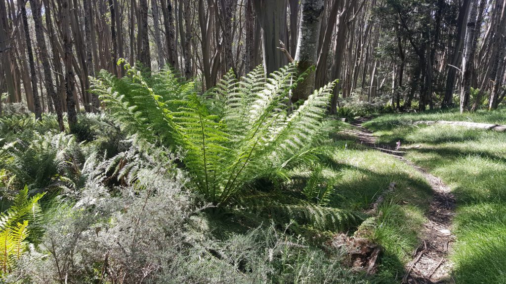
 I had not activated the two 10-point peaks on the Baw Baw Plateau during 2017 and was keen to do so before the end of the year. I had also never visited Talbot Peak and so wanted a new one too. The opportunity presented itself with good weather forecast on Boxing Day and the following day and so I quickly hatched a plan for an overnight hike to pick up both summits.
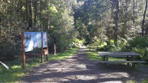 I left home about 7am on Boxing Day with the family all still in bed. It was an easy run down the Princes Highway to Moe ahead of the Boxing Day exodus from Melbourne. I was at the Mt Erica car park by 9:30. My one concern with this trip was the pack weight. It was 23kg leaving the car park and I knew this would make the first climb up to Talbot Peak hard work given the 470m vertical climb. The weight was due to taking both my KX3 and my new SodaPop radio for it’s first outing together with 4 litres of water and all the camping gear.
The weather was almost perfect – partly cloudy with only a very light breeze and around 18 degrees. I headed off and was soon sweating despite the mild weather. The hike up was uneventful apart from encountering what I think was a reasonably sizable Alpine Copperhead snake. After allowing me to take its picture, it slithered off into the bush and let me pass. 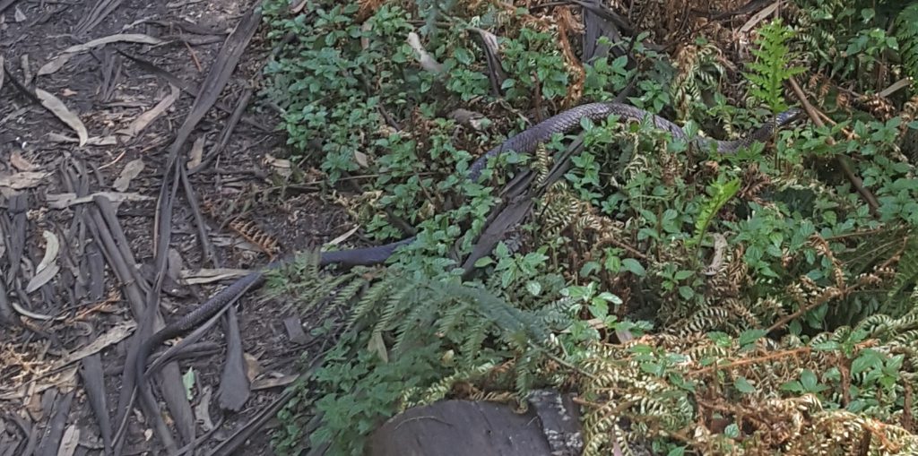
It’s 5.2 km to Talbot peak and took 2 hours to get there with a couple of breaks.
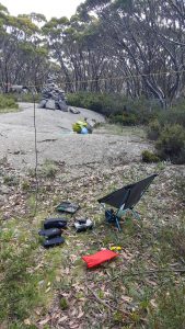
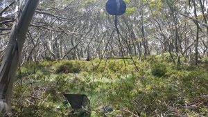 I set up right next to the trig point on Talbot Peak and was immediately greeted by a cloud of March flies and mosquitoes – thankfully Bushman’s repellent works well! I suspended my EF80-10 antenna from the trees as this summit is fully forested, and set up my Christmas present – a Helinox Chair Zero (510g total weight) to make for a comfortable operating position.
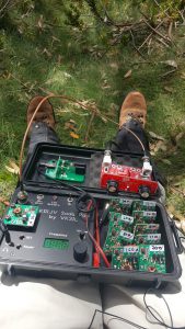
My SodaPop rig has its first outing with a QRP Guys ZMatch tuner
There is reasonable phone coverage here (Telstra) and I was able to spot fine. I spotted on 7.032 CW and was soon greeted with a stream of callers sending at a comfortable speed around 10 WPM which this CW beginner was able to cope with. After 7 CW contacts, I changed to SSB and worked another 10 callers across 80, 40 and 20 m.
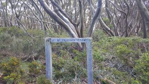
After a short lunch break, I packed up and headed for Mt St Phillack – 7.5 km away with some further ups and downs – in fact about 300m of climbing despite the two summits being of similar height. It took just short of 2 hours with the pack on.

Talbot Peak to Mt St Phillack
Setting up at St Phillack was straight forward, again suspending the antenna from a tree branch in a low inverted-V configuration.
Operating here was very different due to the poor phone coverage. Data coverage was minimal, and hence the usual spotting apps wouldn’t work. While I could get SMS sent, I couldn’t get the SMS gateway to spot me for some reason. I called on both 40m and 20m CW for some time with no response, then tried SSB on 80, 40 and 20m with no luck.
I finally asked Glenn VK3YY to spot me via SMS which he did and then managed to work five callers, four of which were from ZL on 20m. So I finally qualified the summit after nearly 2 hours!
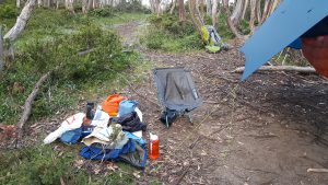 Packing up, I headed to my planned camp site at Camp Saddle (this is at the junction of the Australian Alps Walking Track and the track to Mt St Gwinear). I set up my hammock and tarp and ate dinner with more mosquitoes and March flies.
Re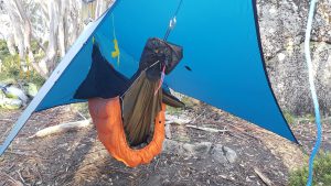 tiring to the hammock, I had a peaceful nights sleep with only the sounds of the bush – and those annoying mosquitoes – to lull me to sleep. I was trying out my new hammock quilts too and they kept me toasty warm given the mild night (minimum of 11 degrees C).
I woke early (soon after 5:00 am) to the dawn chorus of birds, but dozed until about 6:30. After breakfast, I packed up and started the 11.5 km hike back to the car around 7:45, retracing my steps from the previous day. I was back at the car about 11:30 with a few breaks to refill water bottles (there’s a good stream that passes under the path near Talbot Peak) and chat to other walkers.
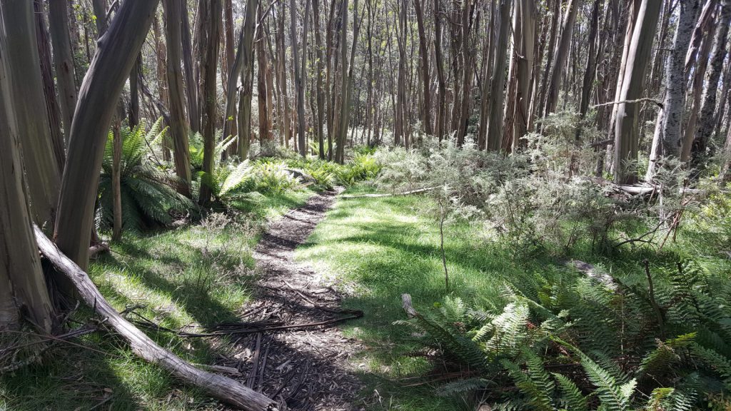 The weather for this trip was perfect and so a very enjoyable outing with a decent amount of exercise as well. This trip has taken me to a total of 31 summits and 328 points for the year, my biggest SOTA year by far. Only 278 more points to join the herd, maybe 2018?



A well executed dual activation David. I remember the constant buzz of flies, march and others, from the day I visited. Good idea to keep another activator’s mobile # to request a spot if stuck.
Interested in your SodaPop mod project but did not see a comment option on that post. You did a fine job of it, very professional, thoroughly measured and proven, all loose ends tied up, all workings shown. Moving the PA onto each band card is a good option, it breaks the design at the right point. Parts are cheap, your time is not! I’ve been working on two homebrew QRP multiband transceivers/receivers in recent months, and they both exhibit the pattern of gain that peaks at 80m but falls off either side, requiring an additional gain stage at 30m and above. You should have lots of 10wpm QSOs on that little rig for a long time to come.
Now how about multibanding a QRPLabs QCX? 8^)
Thanks Paul. Thanks also for pointing out that comments were disabled. I’ve now re-enabled them on my projects pages.
I had a quick look at the QCX as a target for multi-banding. I think it would be possible, but the big blocker is the closed source for the firmware – to make the multi-banding work well, you need to be able to automatically change band to prevent accidental transmission on the wrong frequency. With a closed source rig, that’s not possible unless you re-write the code from scratch.
Yes, impractical. I had the same issue with the OzQrp VFO, which in the end was another factor that encouraged me along the path to DIY coding on Arduino with si5351 and the NT7S library. I understand Hans and Leon not wanting to opensource — commercial considerations aside, it changes the support proposition completely.
Now that youve done the multiband SodaPop what’s next on the drawing board?
A couple of small projects at present, but the next design challenge is to extend the SodaPop to higher power and also 6m (possibly even 2m). It will be a complete re-design of the final amplifier though with new PA transistors.
David, thanks for the GPX file. Nan & I had lunch at Mt Baw Baw then headed out via Mueller’s Tk & The Village trail to St. Phillack’s Saddle then onto Mt. Saint Phillack (new one for me).
Nan struggled with the weight in her pack so I ferried it up the end of the track to the AAWT junction and then up to Mt. Saint Phillack. March flies here, Talbot Peak and pretty much all over the Baw Baw Plateau were in plague proportion. Bushmans worked but they also bit through clothing leaving my back and shoulders looking like red bubble wrap.
Camp Saddle very busy NY eve. We camped in a tiny 1 tent clearing about 250m down from your water way point and was able to get adequate water for our needs (I took a 3 litre bladder, 2 litre pack tank & 600mm life straw bottle where as Nan had a 3 litre bladder and an additional 1 litre bottle).
New years day trekked out and back to Talbot Peak from our camp then today revisited St. Phillack before returning to Mt. Baw Baw
Phone service at St.Phillack is surprising. RX data but unable to transmit anything. Phone calls received today (Alpine cloud and mist) from the summit dropped out and SMS at times did not work (WX conditions? – as worked ok on new years eve)
Used a pre formatted email to spot via my spot messenger. Qualified on CW 40 & 20m.
BTW, on Talbot peak I had local VK3s 59 on 20 and 40 metres, go figure!
Have marked a number of camp sites along the track but the only two water sources are those you have shown. May be something down from Camp Saddle? Used the Steripen on our water, flows constant yet low.
Cheers Tony VK3CAT
Tony, sounds like you too had a successful trip. Interesting that there were so many people about. I had the entire plateau to myself a few days earlier! Interesting that the March flies went through your shirt as they didn’t do this to me at all. I believe there is a water source down from Camp Saddle towards St Gwinear, but I didn’t explore this. There’s also apparently one down from St Phillack Saddle. I used Aqua Mira drops to sterilize the water I drew, hard to know if it was necessary – better safe than sorry though. Would be worth uploading the GPX waypoints somewhere for others camping up there.