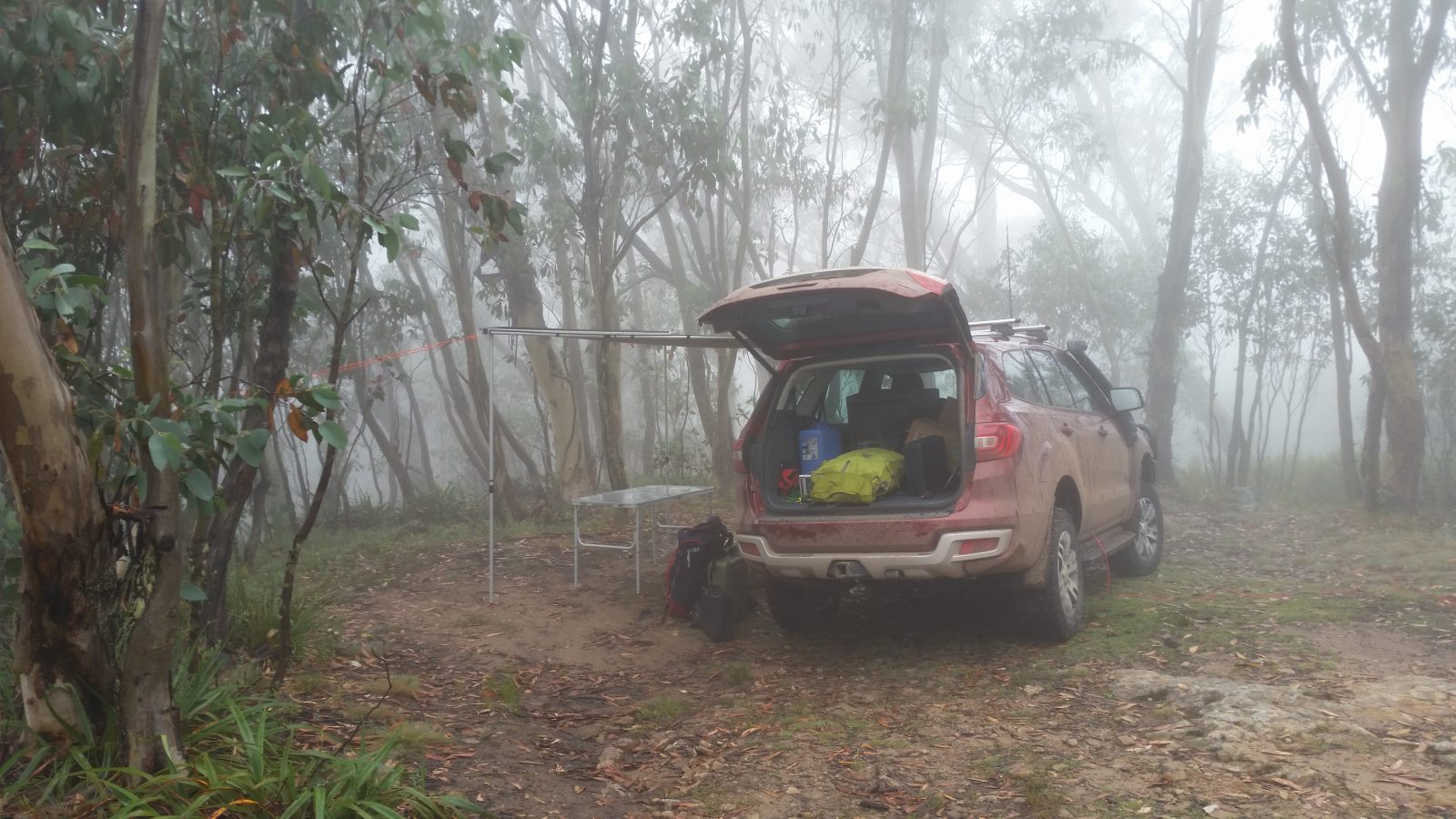
Glenn VK3YY had a week off work at the end of Jan 2018 and suggested we plan a multi-day trip to visit some new summits for both of us. I had been looking at Mt Speculation and surrounds and suggested we aim for this area for a few days. Originally, we planned for a five day trip, but a band of heavy rain on the Monday caused a quick re-think and we cut it short arriving at Camp Creek near Mt Speculation on Tuesday afternoon.
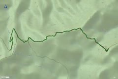
The plan was a two day trek out to The Viking by way of Mt Despair and The Razor followed by a short climb up Mt Speculation and Mt Cobbler on the final day – about 36km of hiking in three days. Surprisingly it went to plan, but our feet and legs were very sore afterwards!
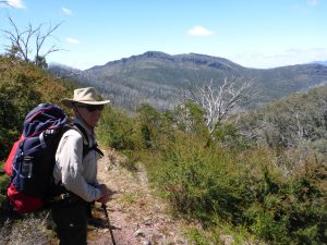
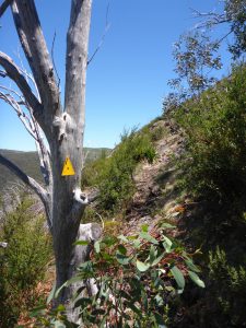
The Razor and The Viking are located in the Razor-Viking Wilderness area which has no roads and limited signage. The tracks are indistinct in places and the terrain challenging, so this is not a hike to be taken lightly. It is however, part of the Australian Alps Walking track, so there are regular yellow arrows to help with navigation.
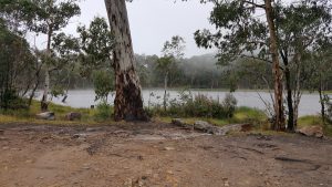
The road is fine for 2WD as far as Lake Cobbler, but after that point becomes 4WD. It is not a hard 4WD track, but there are some rough sections that require reasonable clearance. Camp Creek is a good camping spot, but has limited parking for vehicles. It has a reliable water source in the form of the creek which had a small but steady flow this late in summer. It is recommended to treat the water here due to the number of people using this area.
After a good night’s sleep, we headed off by 9am on Wed morning with clearing cloud and cool temperatures, each loaded with around 20kg of camping gear, food, water and radios. We took 5 litres of water each as we knew finding water would be difficult in late summer. This proved to be almost enough, but another litre would have been better.
The first part of the hike from Camp Creek to Catherine Saddle follows the closed continuation of Speculation Track, so is easy downhill walking for about 3.5 km to the saddle. At this point, the track heads steeply upwards to the summit of Mt Despair and our first activation for the day.
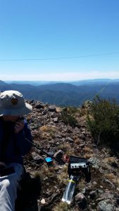
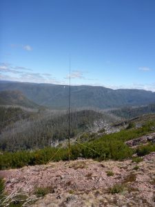
We set up Glenn’s KX2 and EFHW 40/20/10 antenna with a small squidpole bungied to a handy tree and were quickly on air. A spot soon had chasers calling us and we worked 5 on 40m and another 2 on 20m. With a long walk ahead, we packed up and kept hiking. The summit area is well forested and covered in low vegetation and the main problem is finding a clear enough bit of ground to operate from.
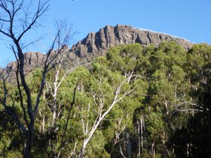
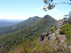
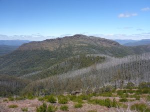
The track descends fairly steeply to another saddle between Mt Despair and The Razor. There’s a great little side-track to a view point with excellent views of the Razor and the surrounding mountains.
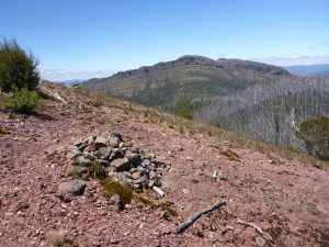
The track then more or less follows the contours to about half way along the Razor range at around point 732933. Here there is a small pile of rocks on a red rock marking the turn off to The Razor summit.
On a map, this looked like a fairly easy walk without much further elevation gain. However there is no track and it is a mixture of dense bush and large rocks all the way up – quite a bush bash! It took us 1 hour to travel just 1.2km and 135m elevation gain. It was only about 10 minutes quicker on the way back.
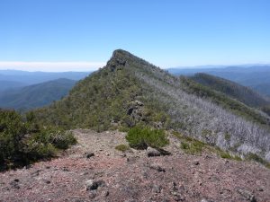
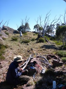
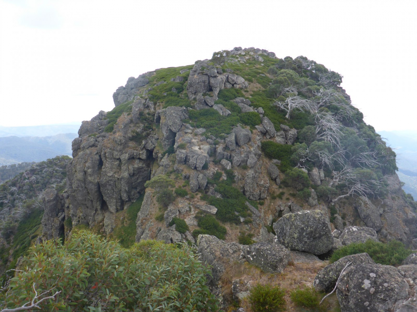
The summit of The Razor is devoid of trees, but has some low shrubbery amongst the rocks. Here we used my hiking pole guy set to secure the squid pole and get on the air with the same setup as previously. There were a similar number of chasers here including a cross-mode contact with Warren VK3BYD CW/SSB (who later told me he was trying to encourage us to come up on CW!)
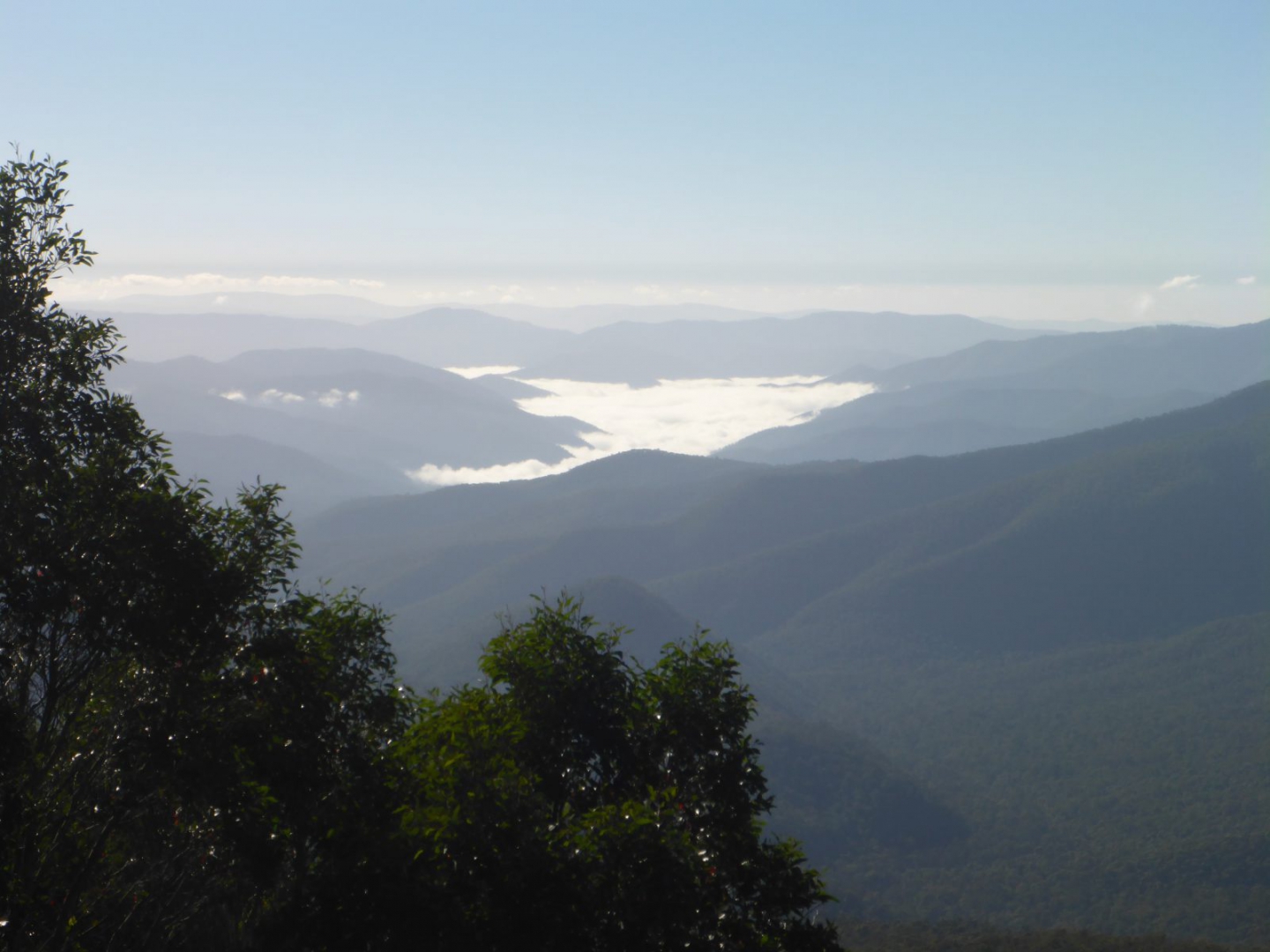
The views from this summit are amazing with a full 360 degree panorama of the Victorian High Country possible. It really brings home how big this wilderness area is with not a road or cleared area in sight.
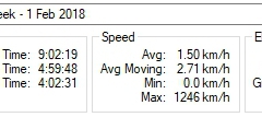
The whole side detour to activate the razor took 2:40 which made for a long day by the time we got to Viking Saddle – our camp site for the night.
Once we were back on the Australian Alps Walking Track, it was mostly downhill to Viking Saddle, but still with 60m of climbing over a couple of small hills. Even though it was only 2.2km, it still took another 1:30 to get there due to the number of fallen trees we had to climb over or under with heavy packs. The track is reasonably well defined and some track clearing has been done in recent months, but there are hundreds of dead trees from the last bush fires waiting to cover the track again!
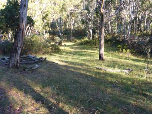
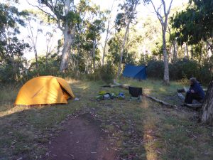
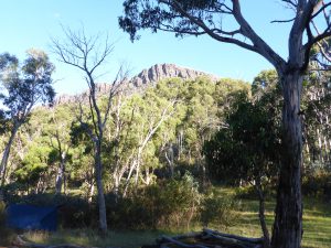
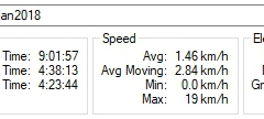
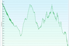
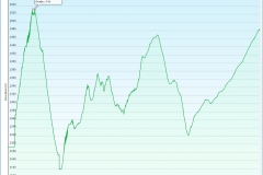
Viking Saddle is quite low down at about 1150m elevation and is a pretty clearing with plenty of space for tents (and the odd tree suitable for hanging hammocks). It felt great to drop the packs and take the boots off after 13km with 700m of ascent and 1000m of descent and 9 hours after we left the car!
Even though it was the height of summer, the temperature was cool and as soon as the sun set, the temperature dropped rapidly, dipping to 2ºC over night. So after a freeze dried meal, we quickly retired to our sleeping bags.
Up with the sun the next morning, we ate breakfast and loaded up day packs with the radios, antennas and safety gear and headed for The Viking which towered nearly 400m above us. It is a steady climb on an, at times, indistinct track.
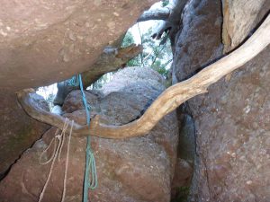
About 3/4 of the way up, there is a steep rocky section that includes a vertical climb up between boulders. Someone has thoughtfully placed a climbing rope here to aid with getting past this safely, but it does require removing packs and hauling them up before climbing up through the relatively narrow opening. Just past this is another smaller hole that is more of a crawl than a climb and is quite tight, so again packs off and passed through.
Emerging onto the summit, again the views are spectacular with plenty of room to operate. Here there are a few trees to support squid poles and plenty of space, so quite easy to set up.
On this activation, the 40m band was in excellent condition and we had a pileup with no fewer than 17 contacts which was quite unusual given it was a mid-week activation.
Once the chasers had been satisfied, we packed up and headed back down to the camp site, aware of the long hike back to the car ahead of us.
The tents had dried by the time we got back and so after packing up, we loaded the much heavier packs and headed back the way we had come – over all those fallen trees again!
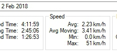
The return hike was long, but uneventful. It took 5:30 (including 1:40 of breaks) to walk the 10.8km from Viking Saddle back to Camp Creek. We ran out of water about 2km from the car which was OK, but we had had to ration it carefully, so another litre would have been good.
Back at the car, a cold beer went down very well from the car fridge. It was another cool night, getting down to 5°C, but the fine weather we had enjoyed continued unabated.
Friday morning, we headed straight up Mt Speculation which is an easy walk from Camp Creek of just 1km and 160m vertical. We were on air by 9am and had no trouble qualifying it quickly with 13 contacts including several on their way to the Mt Hotham SOTA weekend.
Back at the car, we packed up the camp and re-packed the car for the trip back along Speculation Track to Lake Cobbler. It took about 45mins to drive back to Lake Cobbler where we had left Glenn’s car. We quickly packed our day packs and headed for Mt Cobbler. The track is almost 5km and has 600m of ascent, so took us just on 2 hours to climb.
This is a very well marked track and has one river crossing of the Dandongadale river, however it’s possible to rock hop and not get your feet wet!
The last section of the hike is truly spectacular and quite challenging. Mt Cobbler has a double summit with the true peak connected to the lower one by a narrow, steep sided saddle. Climbing the final peak involves some rock scrambling that is reasonably exposed at one point. While you don’t need a rope, you need to be very careful as a fall could be serious. The climb is absolutely worth it as the views are again amazing and it would have to be the most dramatic summits in the area.
The activation was again straight forward with seven contacts on 40m. We did not dally on the summit despite the views as we had a dinner date in Myrtleford at 6pm and so hot-footed it (carefully) back to the waiting cars.
One side visit worthwhile in this area is the Dandongadale falls which are Victoria’s highest waterfalls at 220m drop. They are very close to Lake Cobbler.
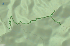
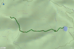
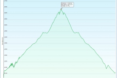
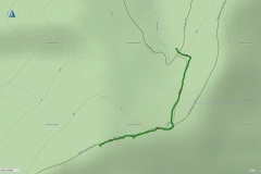
In summary, we had an excellent week, achieving all our objectives and logging 46 points. Across 3 days, we hiked 37km and climbed a total of 2.5km vertical ascent and descent! I have loaded the GPX tracks onto the SOTA Mapping site for anyone else who wants to attempt these summits.
Thanks Glenn for the good company and lightweight radio!

Some of the best country is not easy to get to. Excellent effort. I felt tired after reading about it.
73
Ron
VK3AFW
Thanks Ron. It was hard work, but definitely worth it.
A great read! Well done. VK2AET
Thanks Scott.
Well done David and Glenn, a big effort well executed once again. It was good to work you both S2S on Mt Speculation from The Hump on Mt Buffalo plateau. Cobbler looks nasty! — VK3HN.
Thanks Paul. Cobbler is a bit of a challenge but absolutely worth the effort.